Studio711.com – Ben Martens

Travel

Southwest Road Trip

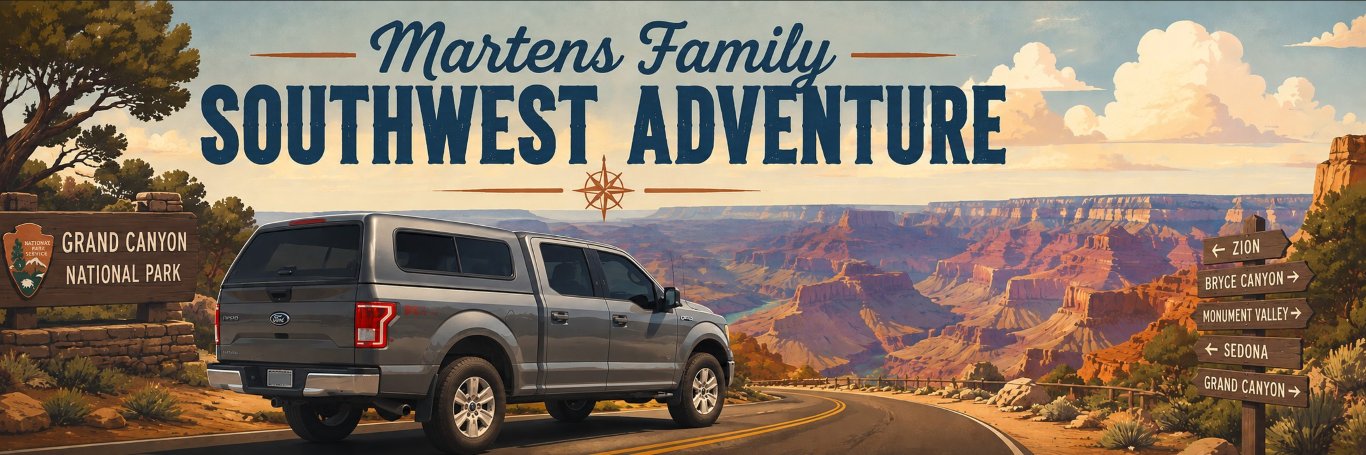
Last year at Yellowstone, we were standing at the “Grand Canyon of Yellowstone” and Elijah commented how big it is. I told him that this was tiny compared to the Grand Canyon and he said, “Can we go there?” Yes, son. Yes, we can. But if we’re going to drive that far, we’re going to pack more stuff into the trip! The trip went through a few different iterations, but we ended with Bryce Canyon, Grand Canyon, Death Valley, and Crater Lake as the National Parks we would hit. It was a long trip, and this post will probably be so long that nobody will read it, but that’s ok. I want to record all the great memories for us to read in the future! If you scroll to the bottom, you can watch the video montage.
I know there are people who enjoy setting off on a trip with very little planning and seeing where the adventure takes them. I could imagine doing something like that, but when this trip is carefully fit into a packed summer with limited vacation days and a family in tow, that would stress me out. I get a lot more out of my vacation if I can have it thoroughly planned ahead of time and then just enjoy not making as many decisions on the trip. This year, I took that planning to the extreme.

I started by planning out what town we’d be in each night and making hotel reservations for each stop. From there, I used GitHub Copilot to help me a lot. Some of the things I used it for:

  • It would periodically look through all our hotel reservations, see if the price was cheaper, and then recommend whether we should rebook the reservation or not. This saved us well over $100 in total.
  • I fed it all our restaurant information from our credit card statements, had it figure out what we like to eat, and then had it pick ~3 restaurants close to every hotel. It included a link to the menu and an estimated price for the three of us to eat. This made it super easy to decide what we were hungry for without endless choices. Fun fact: the first time we drove ourselves to dinner was Day 7! Many of our dinners were close enough to walk which was very nice after so much time in the car. We packed all our lunches and ate in the car.
  • I told it to analyze our route and identify every Costco gas station that would require less than a 2-mile total detour. It also reported on how much of a discount that station was compared to the stations around it so I could decide if it was worth using Costco or not. It’s nice for saving gas but it’s not convenient for using the bathroom or cleaning your windshield. We still used them a lot.
  • It found at least one or two grocery stores near every stop in case we needed to restock.
  • I built a web page with an itinerary for each day along with the restaurant, gas, and grocery store information. It was accessible from my website, as an app on our phones, and printed in a binder that we carried in the car. Was it necessary? No. Did we love it? Absolutely.

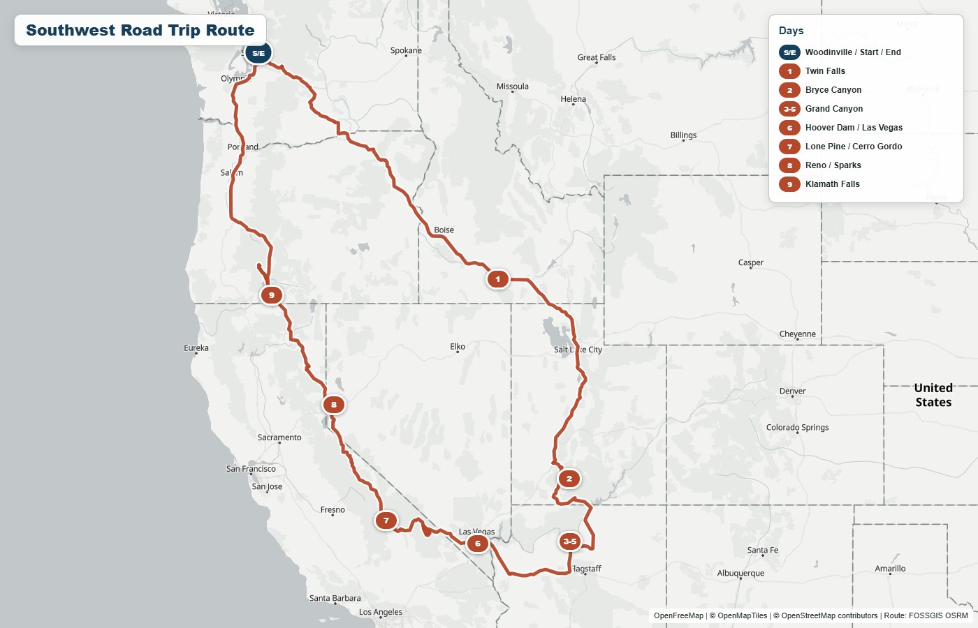
You should be able to click on any of the images in this post to get a bigger view, but here was our route. I’ll explain it day by day with photos along the way and then wrap up with some other topics.
Day 1 – On the road

I tried to front-load the worst driving days. Some might say that this wears people out too soon, but I read that the way you finish your trip has a big effect on how you remember it, so I try not to make the end a slog.

Seventeen miles into the start of our big adventure, the lights on my dash lit up with a warning sign and an audible beeping. Thankfully it ended up just being the battery in a tire pressure sensor that was going bad, but that meant that throughout the trip, the error would pop up, give me a minor heart attack, and then I would dismiss it.
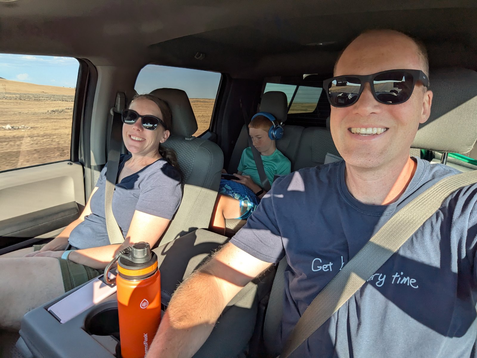
Other than that happening periodically, there wasn’t anything too special about this day. We hit the road by about 5:30am and chugged the 620 miles to Twin Falls, ID. We stayed at Best Western Plus hotels every night except for our days in the Grand Canyon (and Lone Pine, CA which was a regular Best Western.) We’ve stayed at that particular one multiple times, and we enjoy it. For the last couple hours of the drive, we could see a storm brewing and it was a race to see if we could get past the spot where it was going to cross the interstate. We stayed dry the whole trip and then the moment we went out to get our bags from the truck, it CUT LOOSE. It was so intense that I just ran out to get a couple things and then Tyla and Elijah went swimming while I waited for the rain to pass so I could bring in the rest of the bags.

Day 2 – Driving and Bryce Canyon

The second day was supposed to just be another day on the road, but we made great time thanks to 75 and 80mph speed limits. We covered the 486 miles to Bryce Canyon National Park and arrived there around 2pm. We checked into the hotel (the famous Ruby’s Inn) right outside the park entrance and decided to head into the park for the rest of the afternoon. Even though we were tired from the drive, it was fun to finally be in a park!

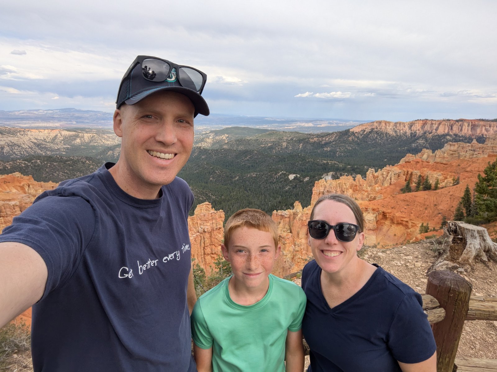
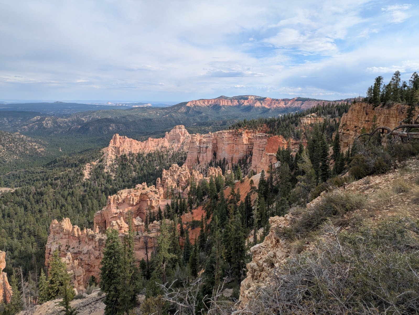
We did the drive out to Rainbow Point and then stopped at a bunch of the lookouts on the way back. It was a low effort way to get a lot of sightseeing in.
Day 3 – Bryce Canyon and Driving

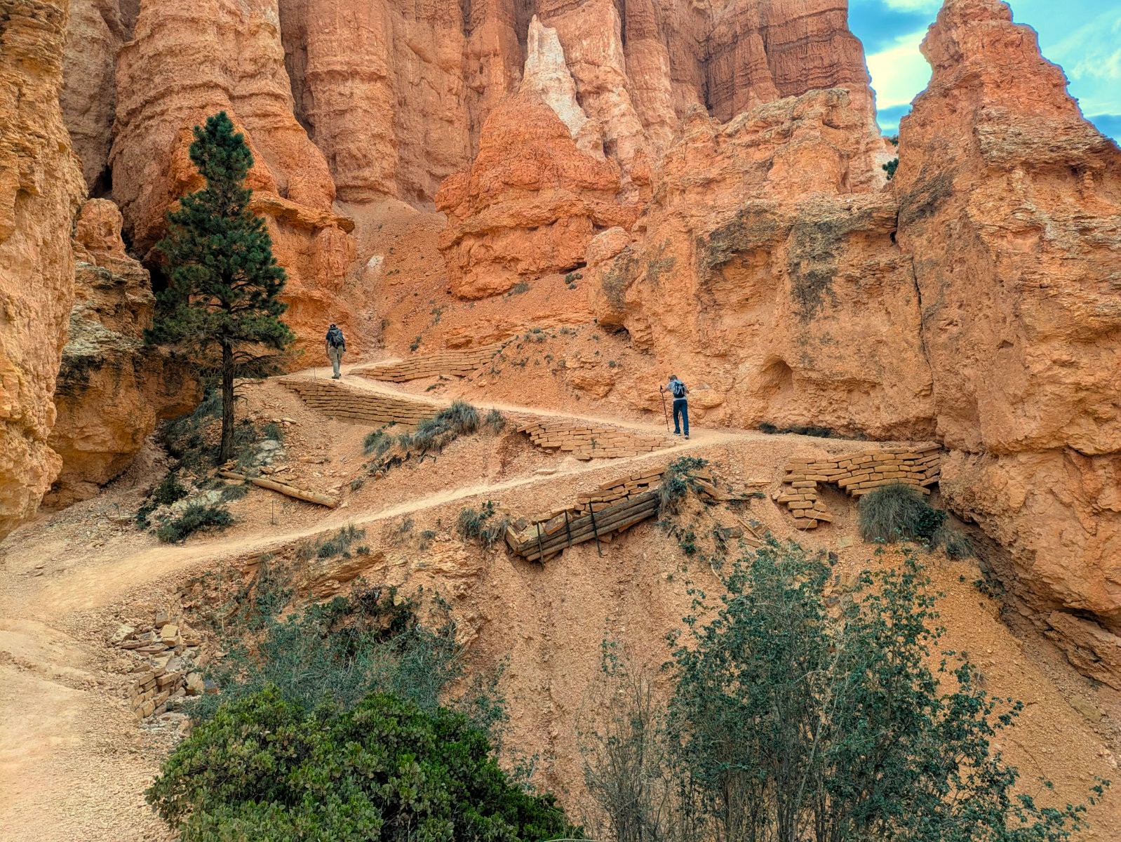
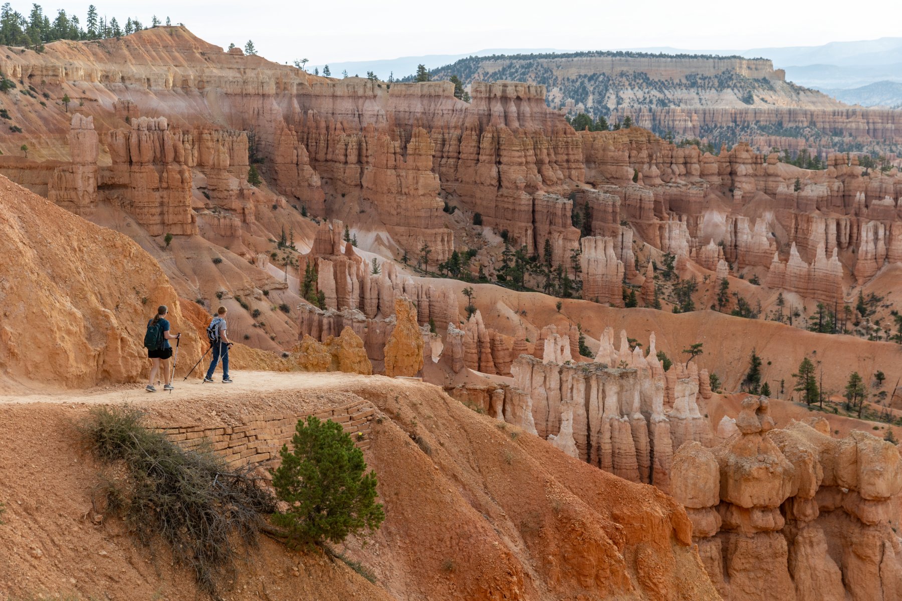
I was super thankful that we got to the park earlier than planned yesterday because we needed to be on the road shortly after lunch to make it to the Grand Canyon around sunset. It is NOT enough time to spend in this park but we made the most of it. Most days of the trip we got up around 5 or 5:30 and were on the road ASAP and this was no exception. We made it to the trailhead before most people, but the trail was still plenty busy. It had some neat switchbacks to descend quickly into the canyon and then the trail had a ton of great views that changed quickly.
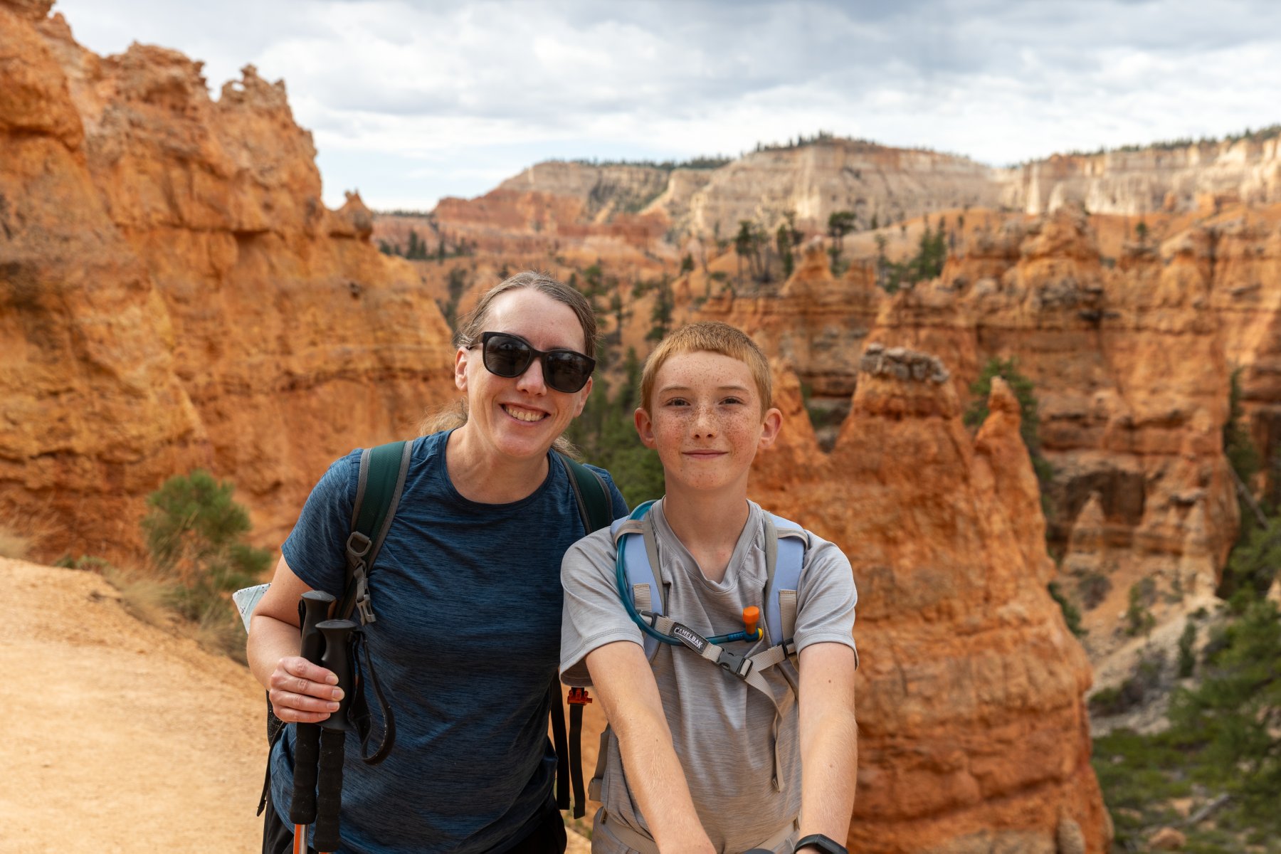
We were able to use our rewards status to get free late checkout. That was convenient so we could come back to the room after the hike, get changed, eat lunch, and pack up. Elijah was able to get in a quick swim too.

Then it was back in the car for another ~300 miles down to the south rim of the Grand Canyon. On the way down there, we stopped at Glen Canyon Dam, got a stamp and looked around. There weren’t a lot of places to stop for a restroom on this drive, and this was certainly a convenient one!
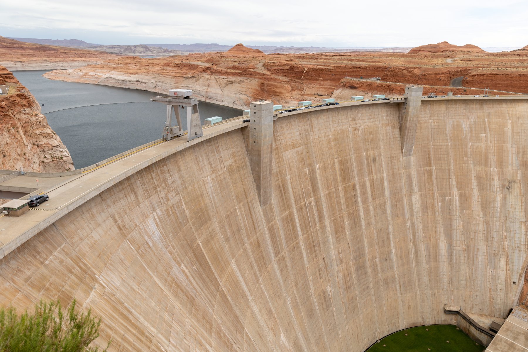
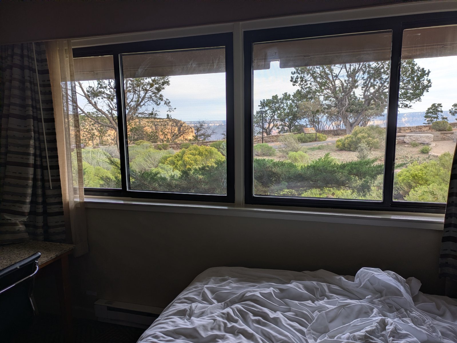
We got into Grand Canyon a little before sunset. We had splurged for a canyon view room right in the village. We were tired and hungry when we arrived and the parking situation was a bit overwhelming but we were super thankful to have a spot magically open up within reasonable walking distance of our room. We quickly unpacked and then walked to dinner before heading to bed early for another early morning adventure!

Day 4 – Grand Canyon

This was it! The park that started the whole idea of the trip! We had gotten a glimpse of the view on the drive in from the eastern gate of the park the day before, but now we could really soak it in. First up was breakfast though. The hotel didn’t have breakfast and the rooms didn’t have a microwave so we ended up walking about 20 minutes to the Maswick Food Court for a breakfast that was fine. Unfortunately doing that added quite a bit of time to both of our mornings. I’d probably do something different knowing what I know now, but it was fine for what it was.

The park can get very busy in the summer so they run a shuttle system. I wasn’t thrilled about it when I was reading about it before the trip, but honestly it worked out really smoothly. After breakfast we hopped on the red shuttle that runs from the village out to Hermit’s Rest. It’s a beautiful drive and we got out at most of the overlooks. We even hiked between a few of them.

As we were on one of those stretches, we were met by two big horned sheep! Cool but… augh! It took us a bit to figure out how to get out of their way but we were able to backtrack to a big enough area and they crossed the road so we could continue on.
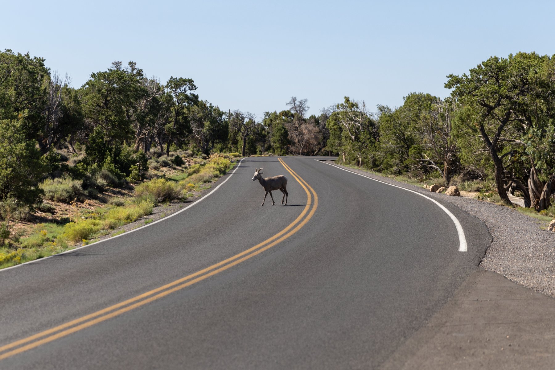
Temps were in the low 90s while we were there which seems like a blessing compared to what it could have been, but it was still plenty hot for us. By the time we made it out to Hermits Rest, we were hot, tired, and ready for the air-conditioned bus ride back to the village.
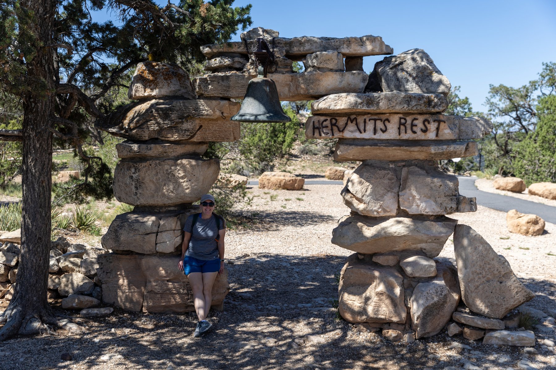
We went to the room, cooled off, had lunch from the cooler, and took naps. But we couldn’t be done! We were at the Grand Canyon! So we took a hike recommended by the awesome Dirt in My Shoes itinerary that powered all our stops on this trip just like it has so many of our National Park trips before. This time it was a “secret hike” that wasn’t on the map but WOW! It was so worth it! The view was incredible with no railing and no one else around. We soaked that in for a while before returning back to the room and then walking to dinner.
Speaking of the food, none of our food was great in the village. You’re a captive audience and there’s one contractor that runs it all. It’s expensive and mediocre but it was good enough. We were really hungry after our days of adventuring anyway. I think the Maswick Pizza Pub ended up being our favorite spot.

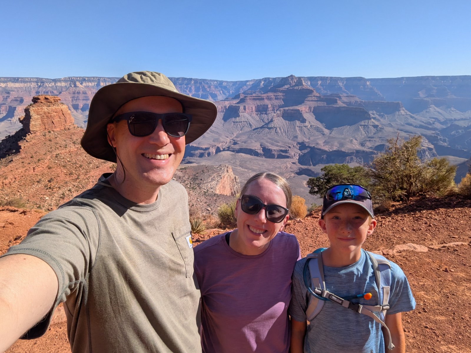
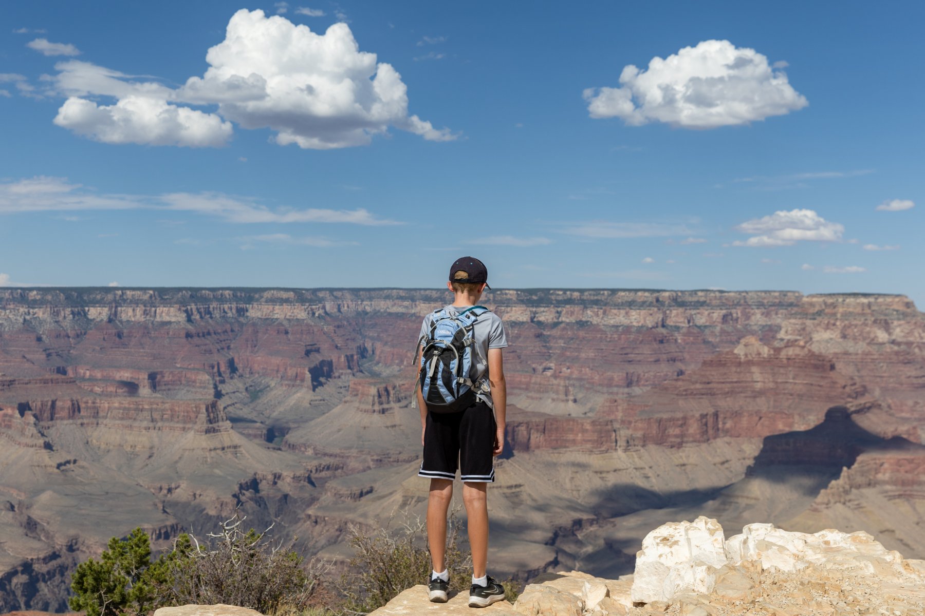
I also learned that it’s really difficult to photograph the Grand Canyon. It’s so big that no picture can do it justice or even vaguely communicate the feel of standing there. A lot of my favorite pictures ended up having Tyla or Elijah in the foreground to provide a little perspective but the pictures ended up looking pretty repetitive.

One last highlight for the day was that we didn’t drive ourselves anywhere and we slept in the same place that we woke up!

Day 5 – Grand Canyon

Our second day in the park, like my basketball career, was spent below the rim. It featured our most intense hike of the trip. The route to Cedar Ridge was only about 3 miles and 1120 vertical feet, but the terrain is intense and punishing. You hike DOWN first and then you have to hike back up in the heat. We started as early as we could and ended up having a fantastic hike.
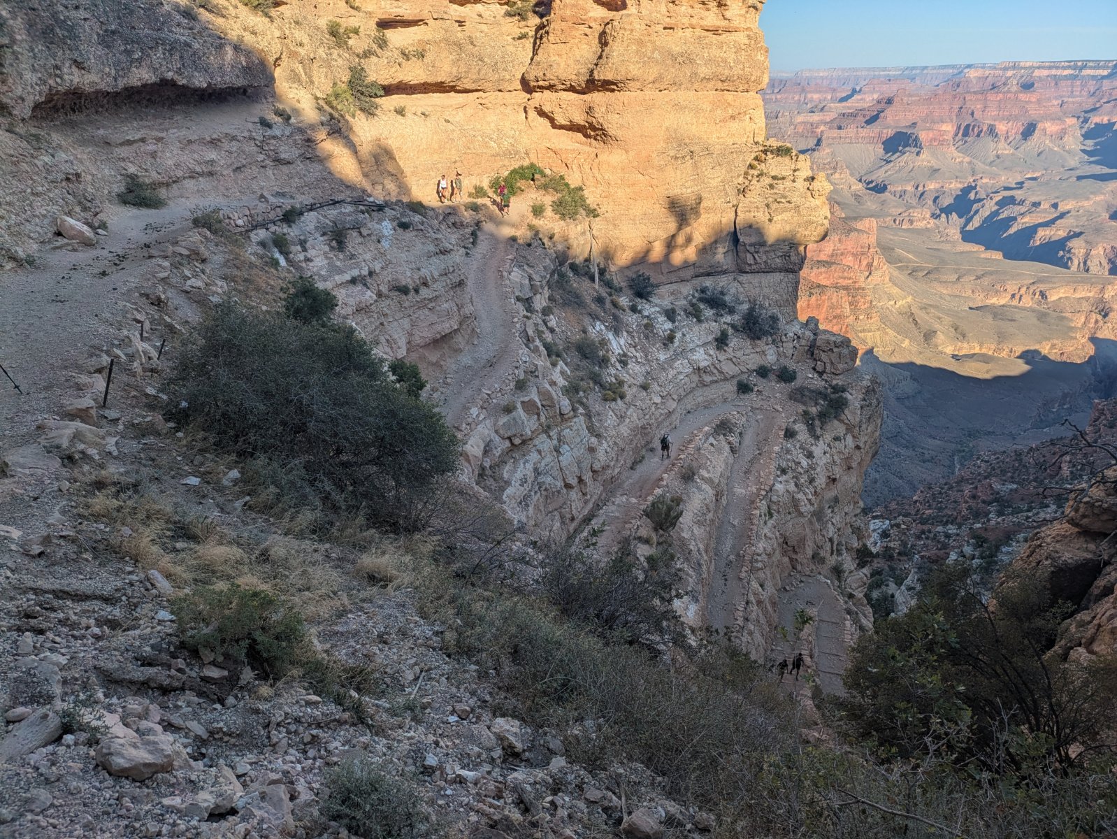
This trail was more busy than I enjoy, but it was still a huge winner. It started off with an enormous set of steep switchbacks and then had a great variety of views before finally making it down to Cedar Ridge. There’s a simple outhouse there along with a volunteer ranger who encourages people to not go past that point.
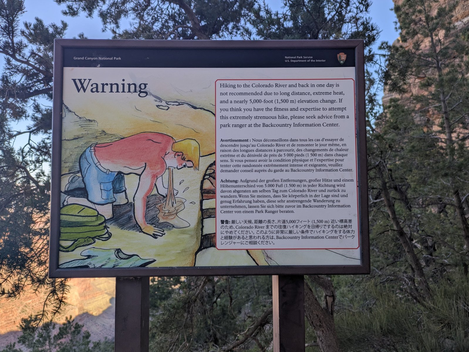
The rangers call this guy Vomiting Victor.
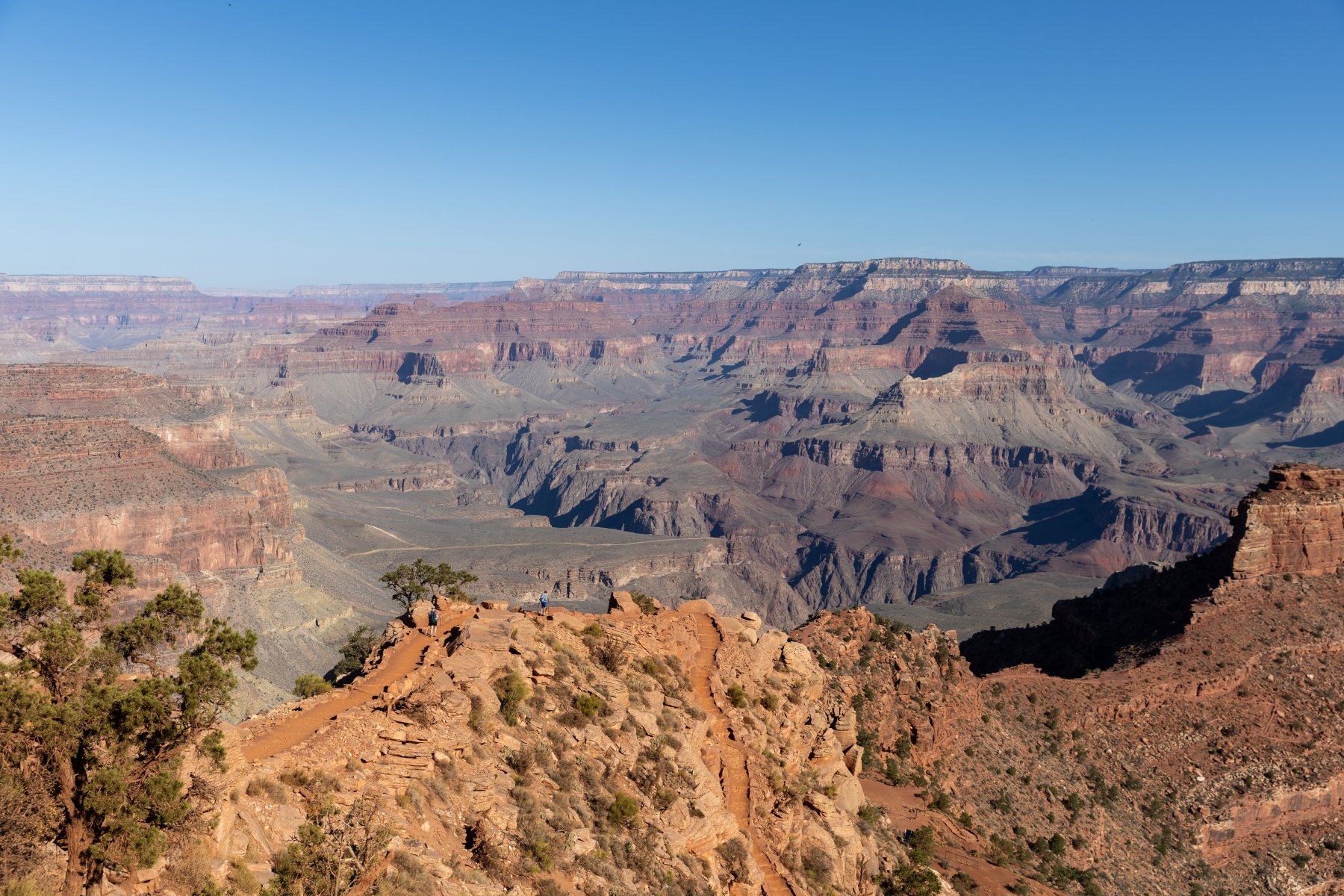
Can you spot Tyla and Elijah in this photo?

We were nervous about the hike back up but thankfully a lot of it was still in the shade and we made good time going back up. By the time we were back up there, a search and rescue volunteer was at the top of the trail chatting with people before they headed down. Hiking in the Grand Canyon is no joke! We packed a LOT of water but used most of it.

After that, we again headed back to the room for a quick shower and lunch from the cooler again. It was expensive to stay in the village but it was super nice to be able to make a pit stop in the middle of the day! After lunch we powered through our tiredness and took a drive to the Visitor Center and then out to Desert View Watchtower. Like Hermit’s Rest and much of the village it was built ~100 years ago and gave an interesting perspective on the canyon. Access to the top is controlled with free, timed tickets, but don’t worry, they sell ice cream while you wait. They know what they’re doing!
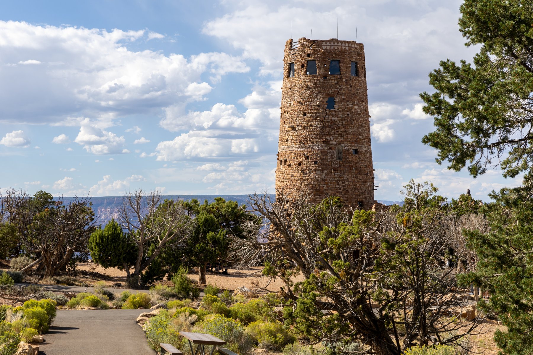
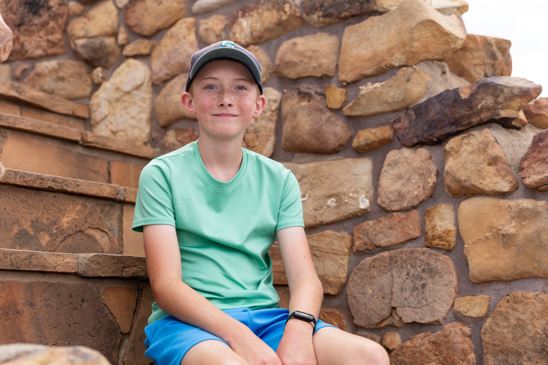
On the way back, we drove through rain for the 5th day in the row but it conveniently stopped every time we pulled off at a lookout.

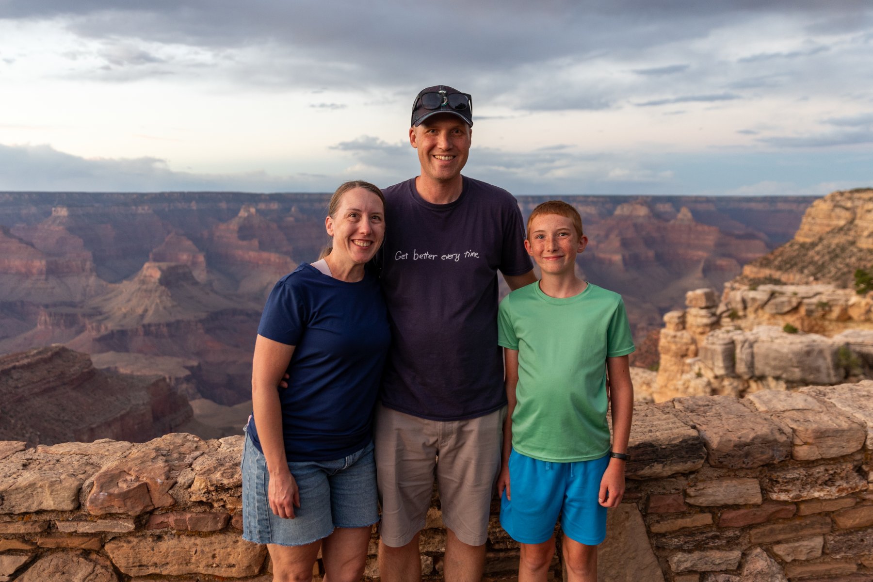
We caught the tail end of sunset on our walk back from dinner this night just like the night before. It was another perk of having our hotel right along the rim. Someone graciously took a nice photo of us and we even spotted another bighorn sheep walking just below the wall. It was hard to call it quits on our last night in the park. We were all very enamored with it and there was so much more we could have explored.
Day 6 – Hoover Dam and Las Vegas

We were up with the sunrise and enjoyed a quick look over the rim for the last time.
We grabbed a quick breakfast at the cafe that was attached to the village grocery store and chugged out of town. Eventually we hit the interstate again for the first time since part way through day 2, but thankfully we’d be back on two lane roads the next day.

It was about a 4-hour drive to the Hoover Dam. We paid to park in the parking garage to get some shade in the 110 degree heat, but it was still an uncomfortable lunch from the cooler in the parking garage. (We’re fancy like that.) I also gained 5 driving points for getting my truck into that parking garage. The spiral up was so tight that there couldn’t have been more than a couple inches to spare between my front right bumper and the outside wall. I just kept my eyes pinned in my side mirror keeping the left rear tire as close as possible to the inside curb. We fit. Barely.

I didn’t have much of a plan here other than that I knew I wanted to stop. It was so hot that we basically just made a beeline for the first doors we saw and thankfully it was the air-conditioned visitor center. We didn’t really have time for the full tour so we opted for the museum, and it ended up being one of the best museums I’ve ever seen. We did the various indoor lookouts and then braced ourselves to walk out along the dam a bit to look over the edge. Then we beelined it back to the truck before we melted and enjoyed an air-conditioned drive across the dam and back. In nicer weather with more time, there’s more I would have liked to explore, but even with the quick stop, I’m glad we got to see it.
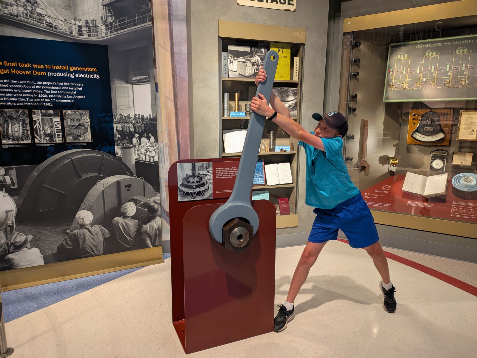
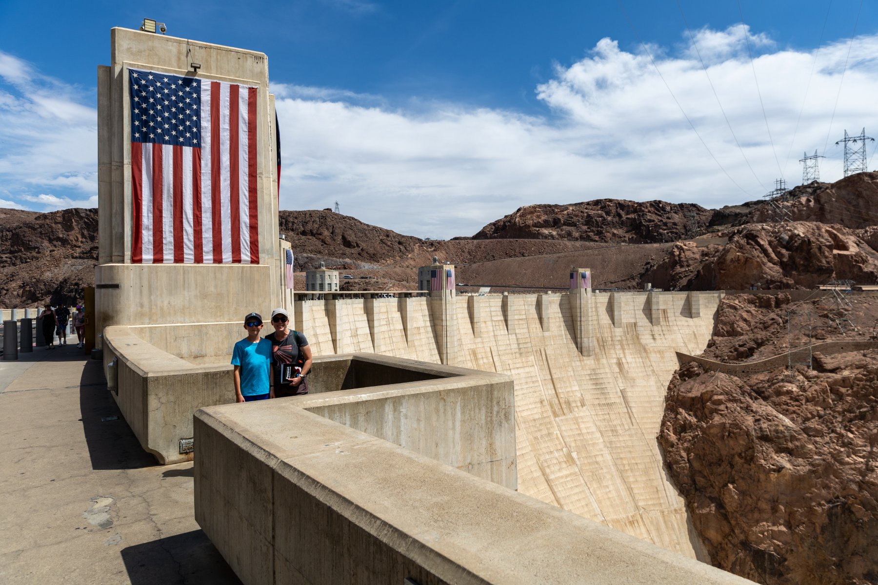
From there it was a short drive to Vegas (where we again drove through rain). Tyla and Elijah enjoyed the pool while I went to the grocery store to restock our fridge. We took our first family Uber trip into Vegas (it was cheaper and less stressful than paying to park the truck). I was thankful to be a passenger so I could actually look around. It was new for all of us.

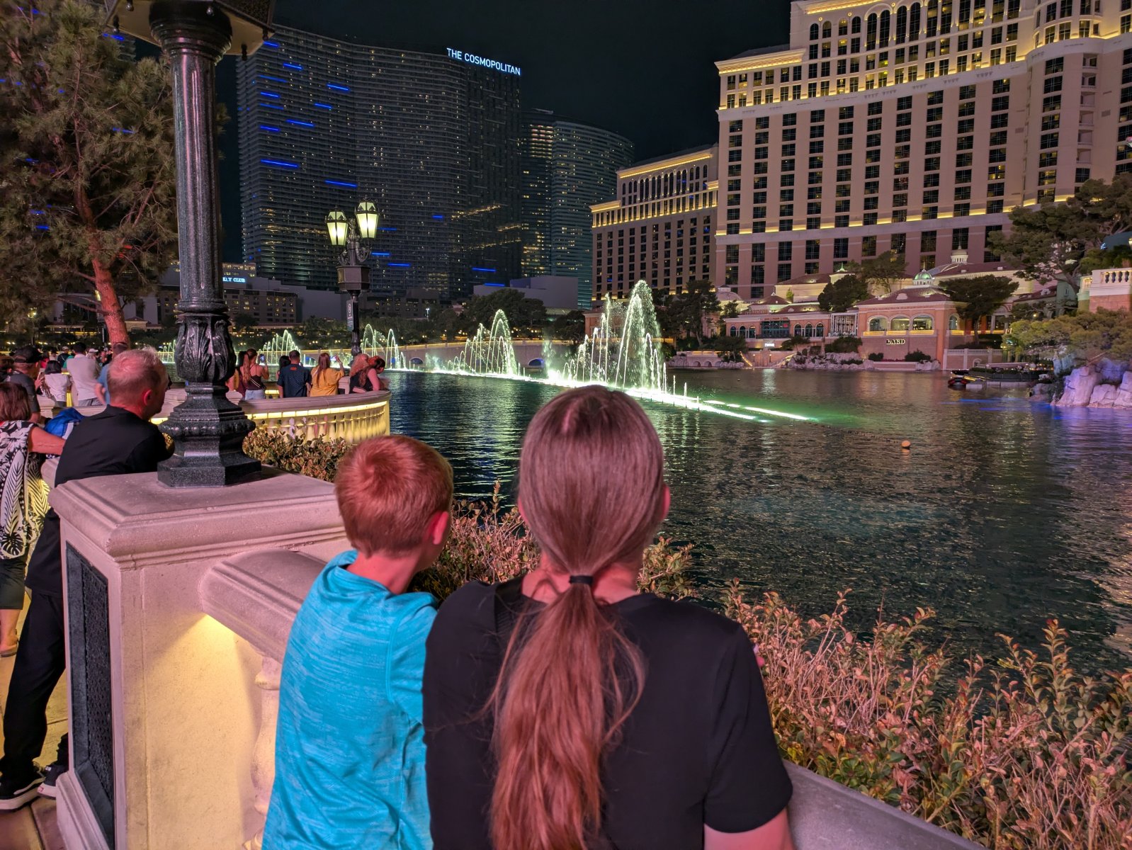
It was still hot even though the sun went down but we enjoyed dinner at Favorite Bistro in the LINQ Promenade. I definitely felt like a dorky, clueless dad trying to navigate my family there. Thankfully the food was excellent and then we went on a quick walk. We successfully ended up in front of the fountains at the Bellagio right before a show started. That was super cool and it was neat to see the Vegas strip lit up at night, but it was late and we were hot/tired.

That was the point where I realized that there was no way an Uber was going to stop on the strip to pick us up. I had no idea how to get to a place where they could get us. Finally, we made our way through a casino to the dropoff and pickup area. It was a fairly long/hot wait, but we made it back to the hotel.
Day 7 – Death Valley

You know what a lovely place to go would be after the 110-degree weather in Vegas? How about Death Valley!
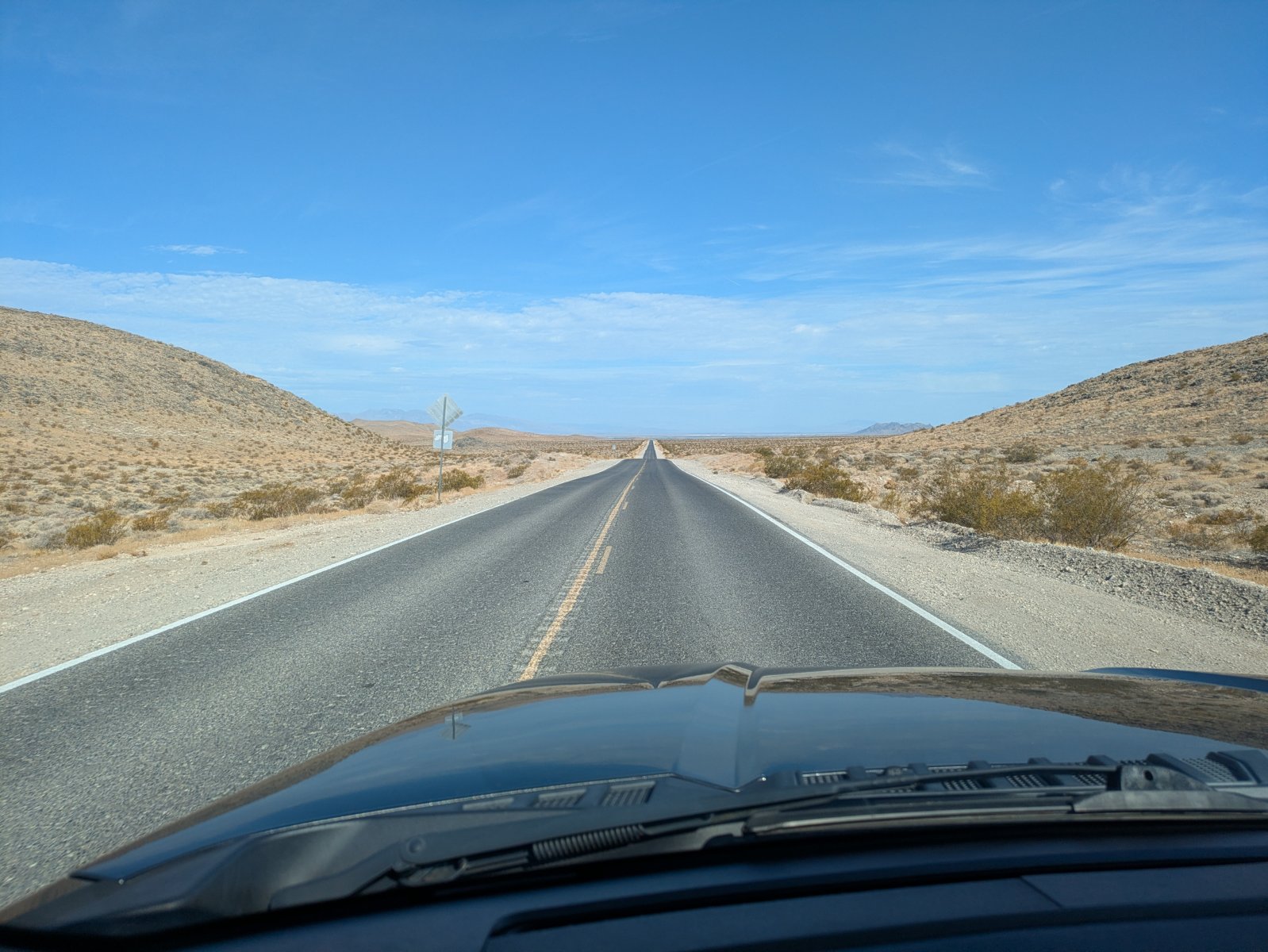
The drive to the park was a lot more interesting than I expected. I pictured that whole area as flat and empty but there was a lot of terrain to keep things interesting and it only took us a couple minutes to get off the interstate and back onto two lane roads.

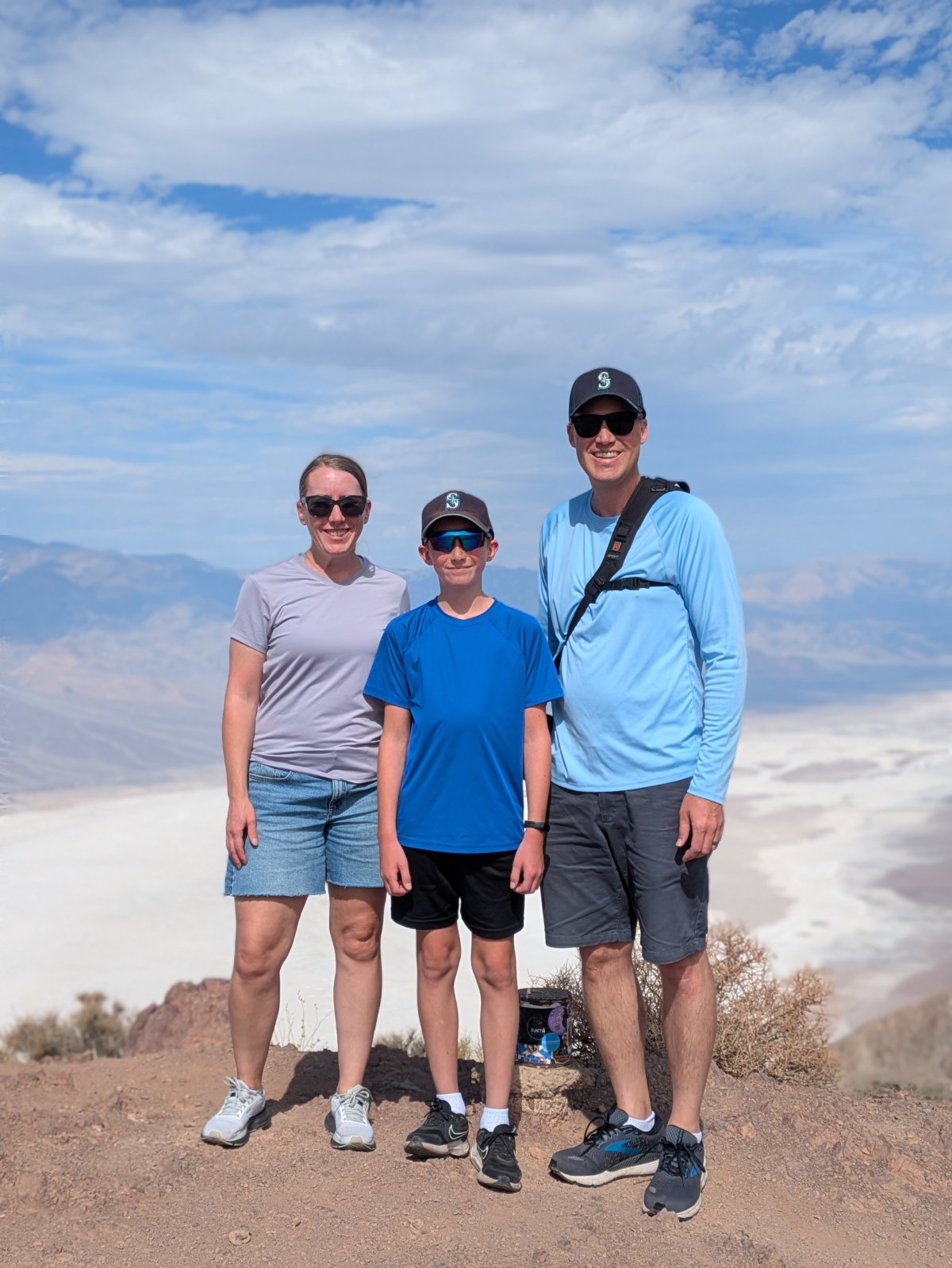
Our first stop in Death Valley was Dantes View. The road up there had some intimidating signs about the final quarter mile being a 15% grade. And in that heat with nobody around I did think twice, but aside from the drive being interesting, the view was amazing! We crested the final rise into the parking area and we were on top of the world! As an added bonus, it was ~15 degrees cooler up there at 5400 feet. We took pictures and soaked in the view before heading back down.
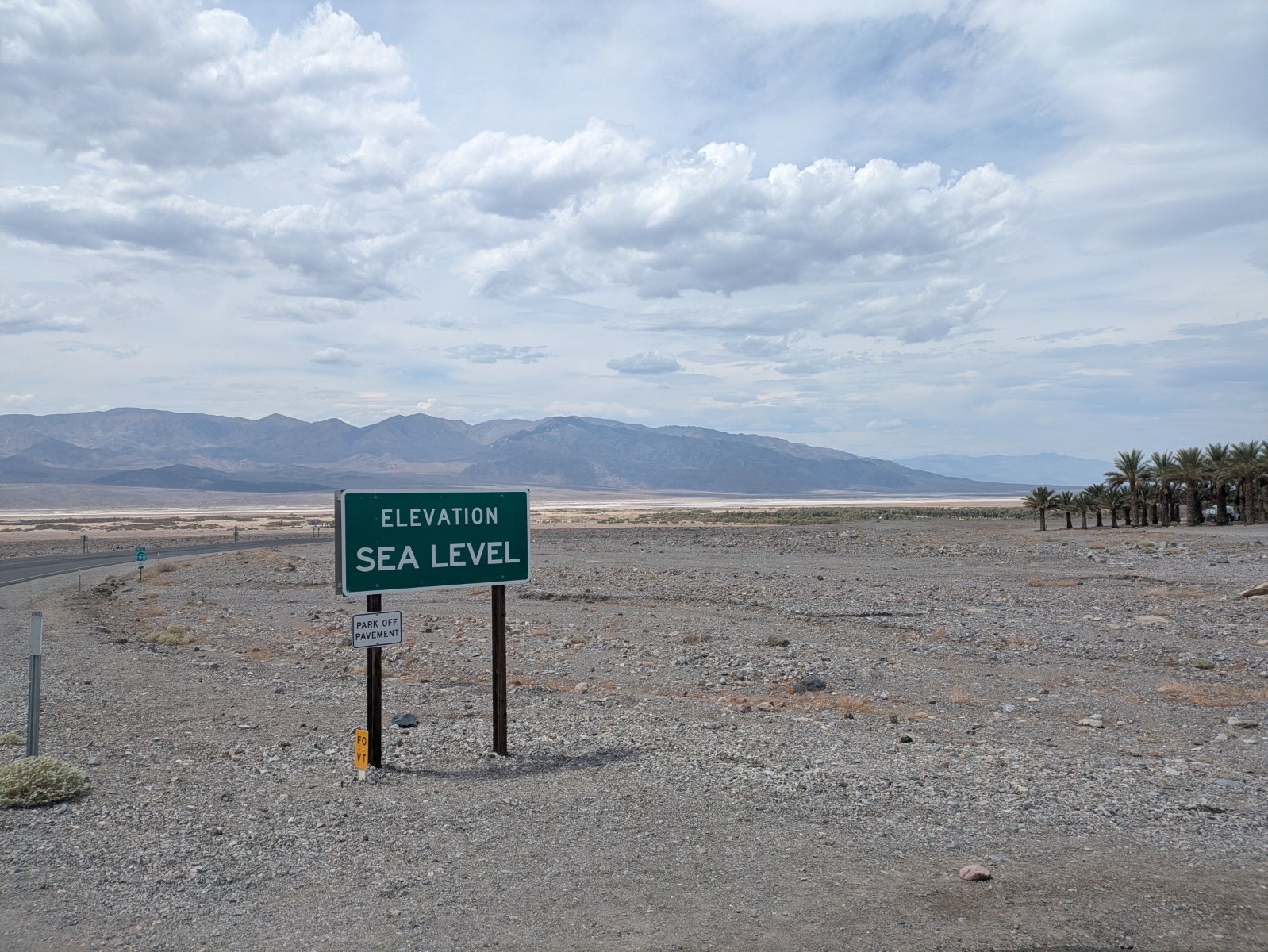
Our next step was the visitor center. Depending on which thermometer you believe it was around 115 degrees. There wasn’t a ton to see there but we did go through the museum area and get our stamp. I was also very happy that the parking area there had a lot of covered spots so the truck wasn’t baking in the heat.
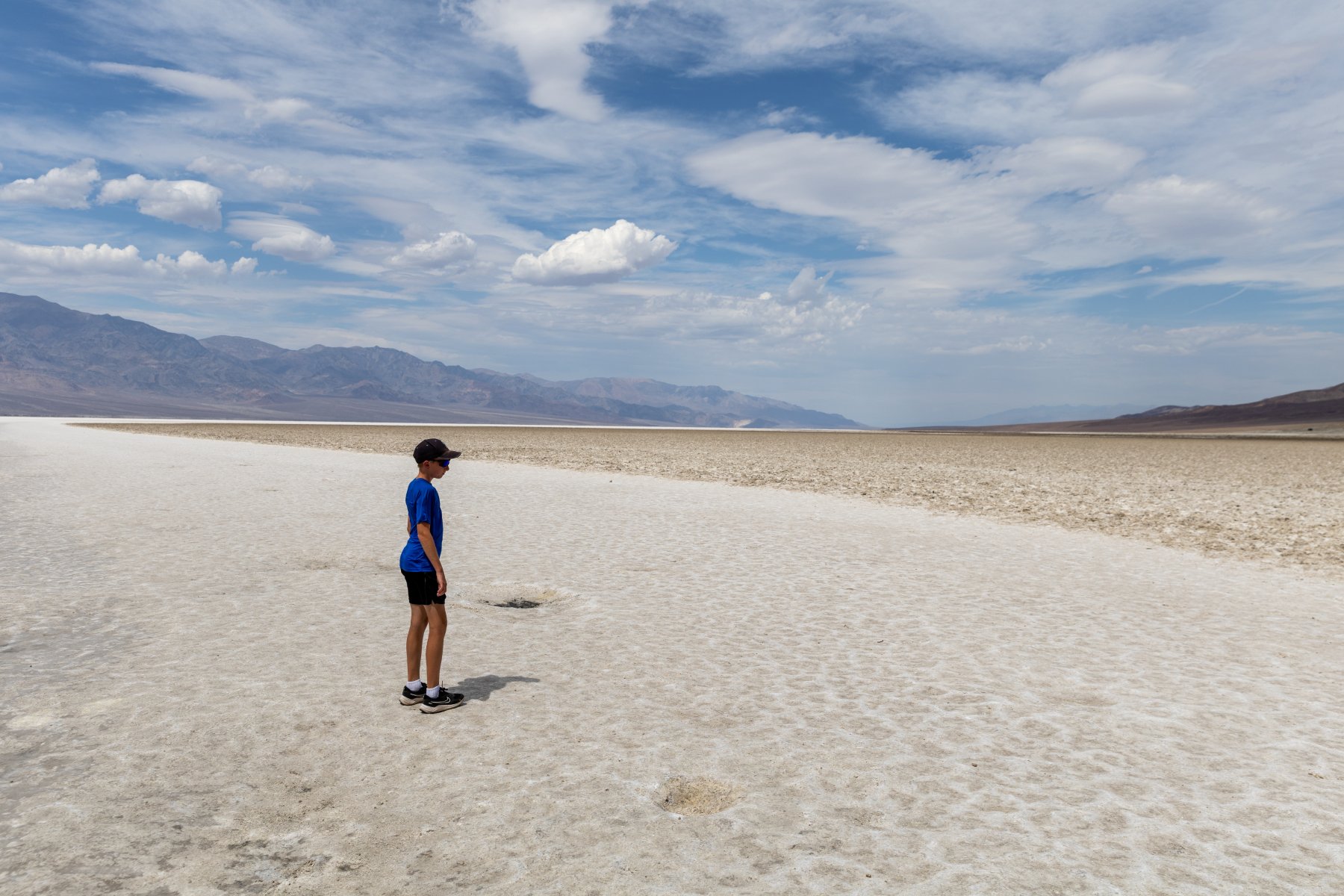
We then made our way out to Badwater Basin, the lowest point in the US at -282 feet. When we got out, the wind must have been blowing the 115 degree air at us around 20mph. It was… not fun. But we were there so we got out, made a determined walk down to the salt flats, spent about 30 seconds there, and then headed back. I know between this and the Hoover Dam we sound like wimps but, wow, the heat was INTENSE. There were signs warning you not to be outside your vehicle for more than 10 minutes.
Our route from there took us along a cool one lane road past Artists Palette and then we headed west towards Lone Pine, CA. Again, I was expecting just some flat boring two lane road but this was the most memorable stretch of road. We went over not one, but TWO, extremely steep and windy mountain passes. I was so thankful that the truck kept purring along as I forced it up those steep grades in the burning weather. There weren’t a lot of other people on around so I was able to take my time and try not to overwork the engine.

That all landed us in Lone Pine. Why would we stop there? And why was Elijah grinning from ear to ear? You’ll find out tomorrow.

This was the first night of the trip that we drove ourselves to dinner! We could have walked the ~2 miles but we would have walked through a bunch of construction and it didn’t feel worth it just for the gimmick of saying we walked to dinner another night.

Day 8 – Cerro Gordo and Reno

If you ask Elijah about his favorite stop of the trip, I think he would say “Cerro Gordo” and I expect most people would say, “What is that?” I’ve written about it before, but in summary, it’s a silver mining town from late 1800s that has been barely kept standing over the years and was recently purchased by a guy who is restoring it, exploring the mines, and documenting it on YouTube. Elijah and I love watching the videos and Tyla gets in on it sometimes too. The channel had such an impact on me that I ended up talking Tyla into redoing our itinerary to swap out Zion National Park for everything after Day 5!

The road to Cerro Gordo is just outside the small town of Keeler, CA, about a 15-minute drive from where we stayed in Lone Pine. This road is also the main reason why we drove the truck. It’s about a 7.6 mile road that climbs over 4000 feet. If you do the math, that’s an average of a 10% grade. While I people report making it up and down fine in AWD SUVs, I would not feel comfortable doing it in anything other than at least all terrain tires with 4WD. Given all the reports I’ve seen about cars and trucks overheating, we took our time getting up the hill. It was narrow, steep, and rocky, but we made it without issue.
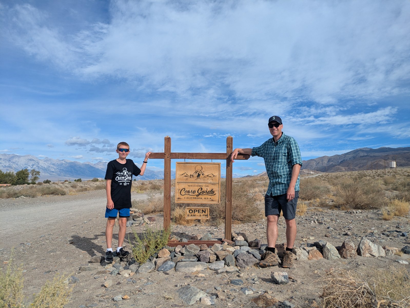
Once we got to the town, we checked in with the town manager, Stephen who was hanging out on the porch playing his guitar. There were a few other cars there during our visit, but we didn’t bump into anyone else. We started at the museum and thoroughly enjoyed looking around at all the stuff Brent (the owner) had pulled out of the mines in his explorations. While we were looking around, we saw Brent step out of his house, and we waved, not expecting a big response from him. I felt a little weird being there and feeling like I was invading his privacy even though he says he likes to help teach people about the town. With all that in mind, I was really thankful when he came into the museum to say hi to us! It’s a bit awkward for me to meet people like this since I know so much about them and they know nothing about me, but we had a good quick chat. After we finished chatting, I talked to him privately and asked if he minded taking a photo with us and he seemed happy to do it. Super cool!
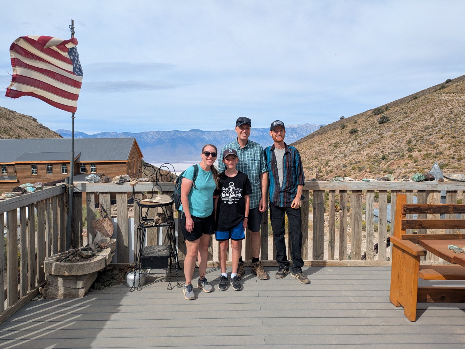
We explored the museum, goats and alpacas, two small houses (including the one he made into a library), the assay office, Lola’s, and the maintenance building/church/theater. While he does a good job of communicating the layout of the town, it’s neat to have been there and have the relationship of all the buildings baked into my memory. There were a few buildings that were off limits with the main one being the hoist house. You can barely even get to a point where you can see that, but given the 900 foot hole, I can understand.
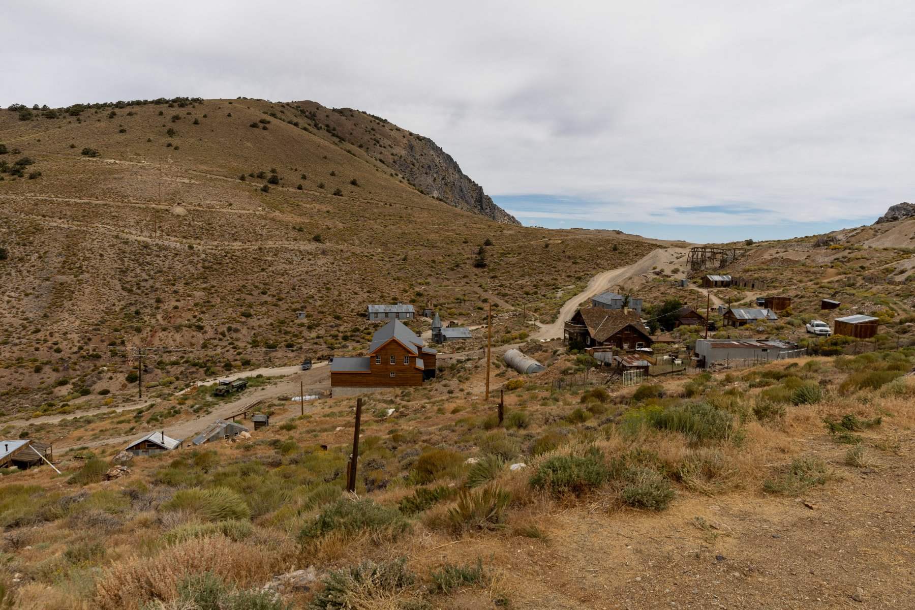
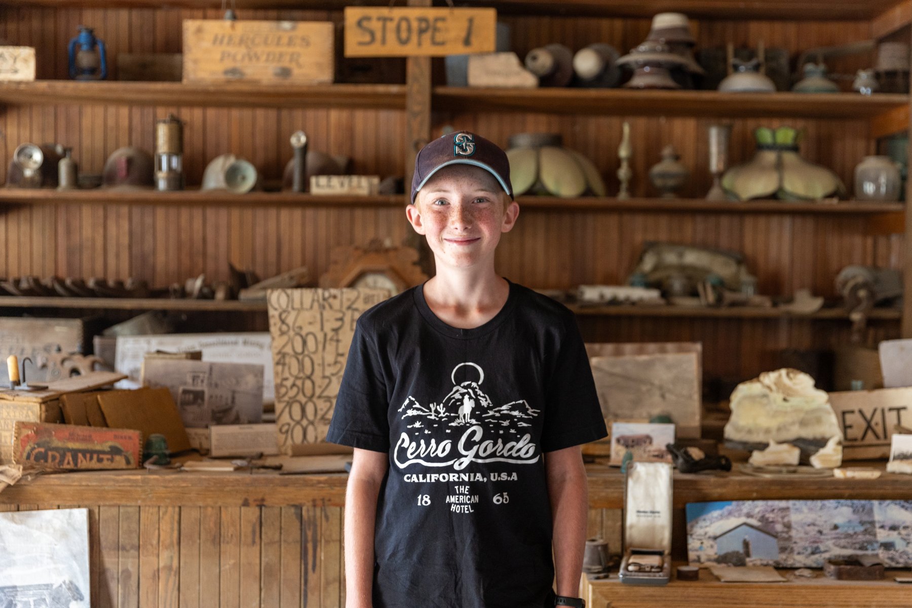
After a couple hours there, we started back down the road. Except for the fact that I had experienced the road once already, I was more nervous about going down than up. There are insanely sharp corners with huge dropoffs. There are not a lot of good places to have a brake problem. So we crept down in 4WD in first gear and even that required a lot of brake action. It took us 35-40 minutes each way, but we made it safely back to Keeler and back onto paved roads. It was at this point that I acknowledged that maybe doing an offroad adventure like this with your family when you’re 1000 miles from home wasn’t the best idea. Ha!

We said a thank you prayer for the safe excursion and headed north. The previous night I had been looking at Elijah’s National Park passport stamp book and realized we were driving past another spot for a stamp. It lined up with a lunch/bathroom break so we stopped at Manzanar National Historic Site. After destroying the ecology and economy of the area by diverting Owens River to get water to Los Angeles, the government had a great idea to remedy the economic situation: put a relocation center there during WW2 to house Japanese Americans. Double mess.

It clearly was not the happiest place that we visited on the trip, but it was a very well done museum and it was interesting to learn about something we hadn’t expected to see. It fit in well with our trip because there were some mentions of Cerro Gordo, and the first group to be relocated to Manzanar was from Bainbridge Island which is very close to our house. While the Japanese Americans were there, they started a garden and some of the fruit trees are still going strong. The rangers were giving away free pears that had just been picked and we happily took some.

From there it was about 4 more hours in the car to Reno. The drive up Owens Valley was really beautiful with the Sierra Nevadas on the left and the Inyo mountains on right. We drove through a lot of very small towns (all two lane road), stopped at an old gas station that didn’t have any way to pay at the pump, and saw a herd of wild horses by a lake.

Reno was fine for an overnight stop. We had picked a Mexican place for dinner, but we didn’t realize it was in the bowels of another casino. The portions were about 3x of what we needed but the food was decent. It was my first time ordering from an iPad menu too!

Day 9 – Crater Lake

Our route from Reno to Seattle took us past Crater Lake. Sort of. Crater Lake is fairly difficult to get to on a trip like this but we crammed it in anyway. We got our usual very early start out of the hotel and made the 6-hour drive to Crater Lake. Thankfully it was mostly on 2 lane roads with good views.

We made it up to the rim of the lake in the early afternoon. In contrast to the rest of the trip, I had very little plan for what to do here. We started at the visitor center to get a stamp and get our first views of the amazingly blue water. Then we picked out a hike up to a fire lookout (The Watchman) which gave an even better overview of the lake.
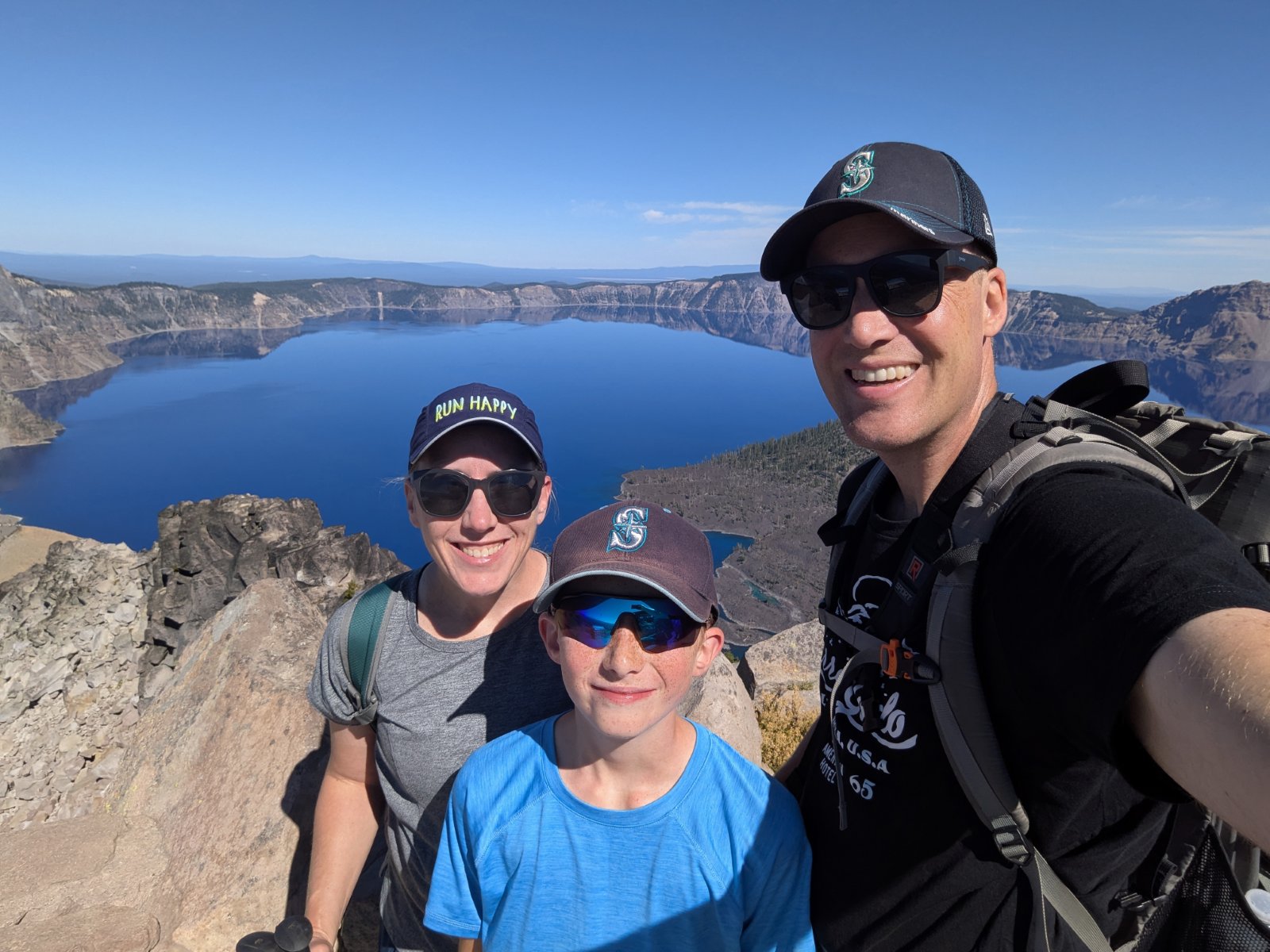
After a few hours in the park, we made the ~1.5 hour drive retracing our steps back to Klamath Falls, OR. We found a delicious BBQ restaurant for dinner where I enjoyed something called a BBQ Sundae (mashed potatoes topped with beans, coleslaw, pulled pork, etc.)

Day 10 – Home

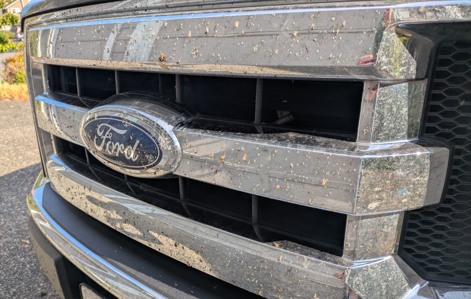
The final day of our trip arrived and while we didn’t necessarily need to leave super early, we knew we’d end up hitting traffic and we were eager to be home so we made another early start. It was about 8 hours of drive, and after fighting our way through heavy traffic for the last ~4 hours, we made it home with quite the collection of bugs on the grill and lots of Cerro Gordo dust in the bed and on the tailgate.
Stats

The entire trip was 3279.2 miles driven in 61:17:05 for an average speed of 53.5mph and we averaged 20.2 mpg. I had pessimistically planned for 20 mpg but we came pretty close to that due to some incredibly strong headwinds for both of our first two days which made the 75-80mph speed limits suck even more gas.

Speaking of gas, the highest price we saw for regular unleaded was $7.29. The most we paid was $6.25 and we mostly avoided filling up in California. We averaged right around $4.90 for our gas over the whole trip. Driving a truck on a trip like this isn’t exactly an efficient choice and there were many times I wish we had the Tesla, but the truck was worth it for the drive up to Cerro Gordo and packing in it was definitely convenient.

I plan our road trips at 60mph whether we take the car or the truck. That estimate is pretty close when you factor in our bathroom stops, but we made better time the first couple days thanks to higher speed limits and maybe a stop or two less than normal (65mph on day 1 and 67mph on day 2.) Our two lane days were a few mph slower than 60 but it still holds up as a good estimate for us.

I was surprised at how evenly our miles were spread across all seven states:

  • WA: 412 mi (13%)
  • OR: 639 mi (20%)
  • ID: 283 mi (9%)
  • UT: 526 mi (17%)
  • AZ: 444 mi (14%)
  • NV: 205 mi (7%)
  • CA: 659 mi (21%)

I keep track of all the counties Elijah has visited and he got 22 new ones on this trip. Over 2000 of our miles were in those new 22 counties. Nevada was a first for me too.

As I’ve mentioned multiple times with our county exploration trips and summer road trips, we really love getting off the interstate. I didn’t specifically plan for it this time, but it still worked out nicely. Here’s a breakdown of our road types:

  • Interstate: 1537 mi (52.7%)
  • 4+ lane highway: 316 mi (10.8%)
  • 2 lane highway: 987 mi (33.8%)
  • Dirt: 16 mi (0.5%)
  • Other: 63 mi (2.1%)

Wondering how I got all these stats? I wrote quite a few interesting map analysis programs with my AI agents to calculate all this.

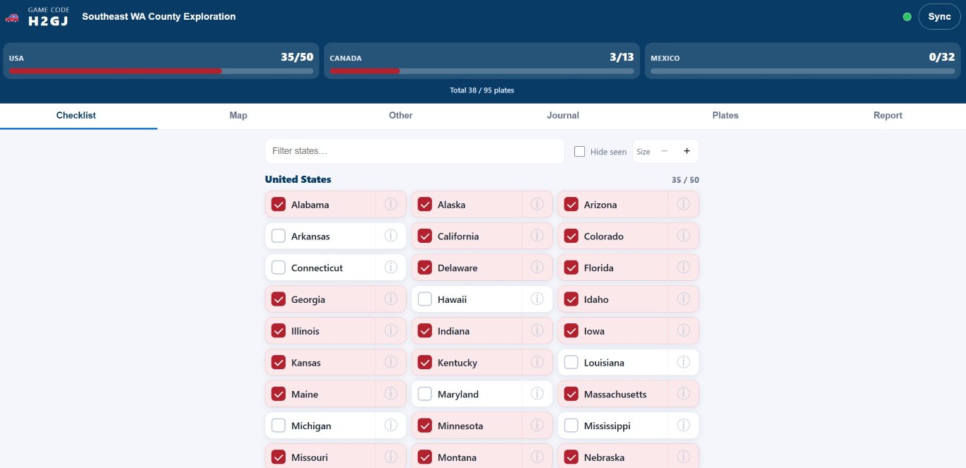
Our road trip bingo game went well. Just like our Yellowstone trip, we found all the states except one: West Virginia. Do people there ever take road trips? We had 48 plates by day 2. Then we added Rhode Island on day 3, and Vermont was finally spotted on Day 10. We also got 5/13 Canadian provinces and 2 Mexican states.

Best Signs

This is maybe a weird category, but we saw two very unique signs. The first is one we saw twice on our Moab trip, but I failed to photo it. This time I didn’t photo it myself, but I was careful to mark the GPS location so I could find it online later:
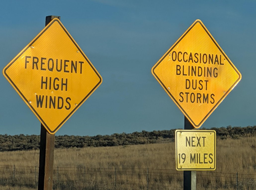
OCCASIONAL BLINDING DUST STORMS

The other was on the way to Death Valley.
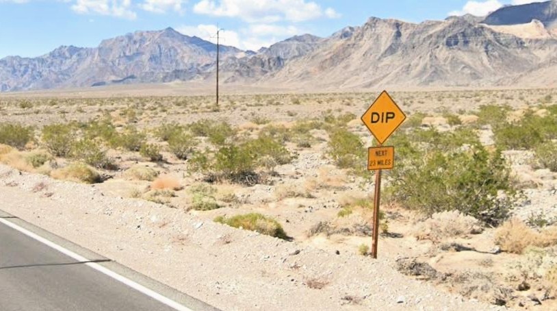
DIP, NEXT 20 MILES

How do you have 20 miles of dips? It turns out that when a wash cross the road, they dip down to make sure that the water can easily make it over the road without (hopefully) undercutting the road and washing it away.

Wrap-Up

I know this was super long, but I wanted to get this all written down to enjoy down the road. We have so many good memories that this post could easily have been much longer. And through the whole thing, I said a lot of thank you prayers. So many things went unexpectedly perfect that I literally ended up making a list on my phone of all the things we had to be thankful for. They wouldn’t all make sense to post here, but the weather was a giant one. How do you take a 10-day trip across the southwest in August and have ZERO SMOKE? There were many places where we saw signs naming mountains on the skyline and commenting that many of them aren’t visible because of smoke, haze, and smog, but we could see them all at every stop. Our trip could have felt much different if we weren’t able to enjoy those expansive views with such clear air.

These road trips to national parks are my favorite family vacation. We hadn’t planned to do another one this year after doing Yellowstone last year but I’m so glad we did! It felt very different from our Yellowstone trip since we were changing hotels most nights (and that got old), but both trips were super enjoyable in their own ways. I’m thankful that Tyla and Elijah not only put up with these trips but deeply enjoy them too!

What’s next? Who knows. Stay tuned!
Indiana Vacation

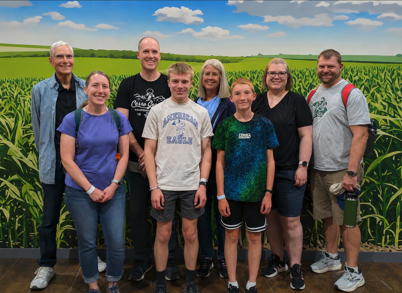
I’m a little slow in posting this, but earlier this summer, we enjoyed another trip back to Indiana to visit family. This was a special one because we were celebrating (slightly early) my parents 50th wedding anniversary!

We had a new (for some of us) adventure this time when we visited Fair Oaks Farms. It’s a dairy farm with ~20,000 cows. It’s an enormous operation and the tour was very interesting! That’s also in the general area of my grandpa so we were able to visit him as well.

The rest of our time was filled with swimming, cornhole, croquet, watching Elijah drive the mower around, Dad teaching me how to drive 1954 Allis Chalmers, board games, target practice, and lots of good food.

Plate Bingo

Road trips have become a common activity in our family and one of our favorite games on road trips is plate bingo (or whatever it is called in your family.) We play cooperatively and we mark off each state’s plate that we see. On our trip to Yellowstone, we completed the whole set of 50 states plus a bunch in Canada and Mexico. We even saw a plate from Brazil!

We play on paper and it works just fine, but I was interested in trying to do it electronically. I flipped through the various apps for it but didn’t love any of them so with the power of agentic engineering, I built my own that is perfectly customized to my wishes. I’m going to skip posting the link here because I’m not really set up to service the entire internet if this page somehow gets popular, but feel free to text/email/whatever me and I’ll send you the link.

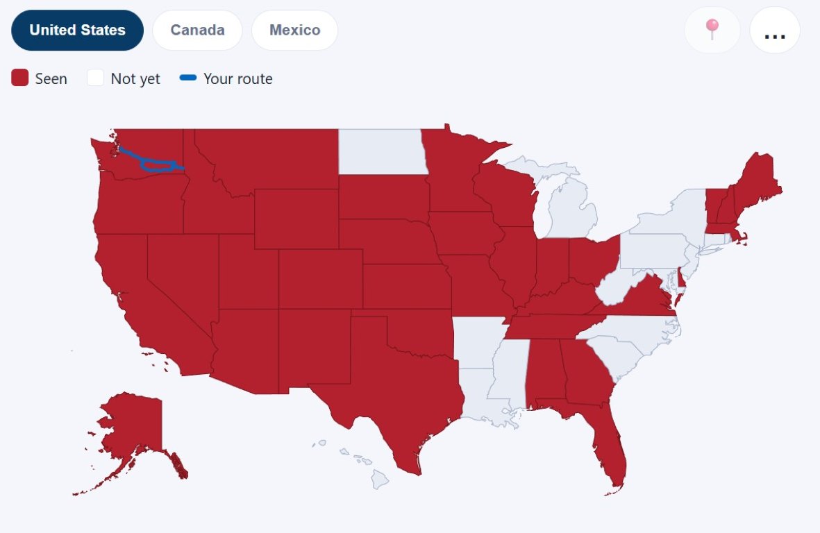
The interface is probably what you would expect. You get a big list of checkboxes for the US, Canada, and Mexico and as you check them, everything is synced to a central server so that everyone can see them. You can click into a state to see an example of the plate as well as facts about it. There’s a map view with your finds colored in, and you can upload a GPX file that overlays your route on the map along with a dot showing where you are now. At the end, you can generate a PDF report of the whole game showing some stats like the percentage of the country that you found by population and by area as well as a timeline of how many states you found per hour over your trip. In the back end I’m also keeping track of your location when you found a state with an idea to eventually come up with a “how hard is it to find state X based on your location” model.

Ultimately this whole thing could just be replaced with a single checkbox that says “Did you find West Virginia yet?” and in the unlikely event that you check that box, it says you win.

Washington County Exploration

I’ve explained in previous posts how at some point, we decided to try to visit all Washington counties. The rules were pretty simple:

  • All three of us are together as a family
  • We are in our electric car
  • We at least drive into the county, but ideally, we find something fun to explore in the area
  • If we previously achieved these criteria before we decided to set this as a goal, those counties still count.

I have belatedly created a tag for some of these trips: wacounties.

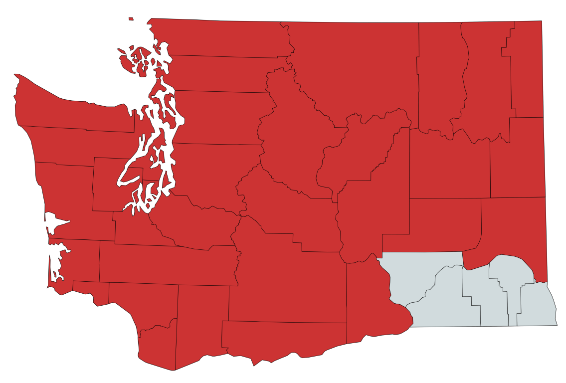
After all our previous trips, there was only one more left and that was for the five counties in the very southeast corner of the state. If you’ve ever looked at a map, there’s not a lot there. It’s composed largely of dry rolling hills dotted with cows and farm equipment. While beautiful, it’s hard to come up with something to do instead of just drive through.

Further complicating this was the fact that there were no superchargers in that area. My only idea was to charge up extremely high in Pasco, WA and then try to touch all the counties on the shortest route possible up to Spokane to get to another charger. Another idea was to bank on non-Tesla chargers (or a campground, etc) but that makes me MUCH more nervous. So many non-Tesla chargers are broken that I didn’t relish the idea of being stuck in the middle of nowhere with a plug in my hand.

Thankfully in May of 2025, Tesla installed a new supercharger in Lewiston, ID! It was still a fairly long run, but it made things a lot more interesting.

We planned this as a 710-mile, overnight trip. On Saturday, we headed across Snoqualmie Pass, down through Yakima to Pasco. We charged there, had lunch, and headed east. Much of our route was along US-12. I have greatly enjoyed all the time we’ve spent on two lane roads as part of this adventure! The interstate is a good fast-forward, but the experience really gets better when we exit the interstate.

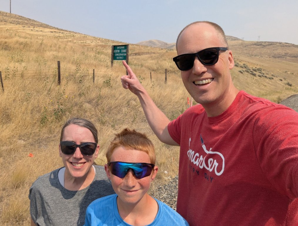
When we got to the final county, we stopped to take a photo by the sign.

Lewiston, ID and Clarkston, WA are right across the river from each other, and as you can guess from the name, Lewis and Clark came through there. We stopped at Hells Gate State Park in Idaho to visit the Lewis and Clark Discovery center and play a little disc golf. Then we had a delicious dinner at Roosters on the Snake River and then went back to our hotel. As always, we stayed at a Best Western Plus (not sponsored, but we should be at this point!) and it was probably the nicest one we’ve ever been to.

On Sunday we made the trek back on a slightly different route joining up with I-90 at Moses Lake. We sat in about 30 minutes of traffic for the decade long bridge replacement at Vantage. (I’m exaggerating the project length. Probably.)

As we got closer to Seattle, the traffic got heavier, the drivers got worse, and the rain started up. It was a bummer to think that the county exploration project was over, but I’m so glad we did it! Elijah keeps asking if we’ll try it when we move to Minnesota. We’ll at least keep track but there are so many more counties there that it will be a long process.

Olympic Peninsula Road Trip

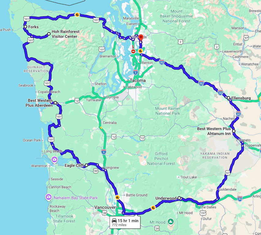
I don’t know how this started, but our family is trying to visit every county in Washington state. With our impending move next summer, we are trying to finish off the remaining counties soon. I divided them up into two trips, the first of which was an Olympic Peninsula tour. It was about 800 miles so we chopped it up into three days and did it over Memorial Day weekend.

Before we started, I added two doses of nerd to the trip:

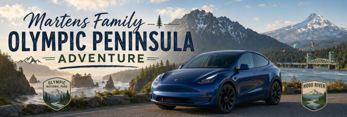
  1. I had GitHub Copilot create a nicely formatted HTML page with our itinerary on it and then I shared it with Tyla and Elijah so they could look at it during the trip. It had all our stops on it along with links to menus at restaurants. It also included the nice header image that you see in this post.
  2. I used GitHub Copilot to build an app that lets me generate custom podcast. First it asks me how long I want the podcast to be. Then it researches a bunch of material about the topic and generates a two-speaker script. Then it renders that script into audio using my Azure subscription. Finally, it generates a podcast XML feed and uploads it all to my webserver. That gives us custom podcasts based on specific things that we’re going to see on our trip. It’s not as good as real humans but it’s fun to learn more about specific things we’re seeing.

Saturday

On Saturday, we left early to get in line for the Edmonds to Kingston ferry. We knew it would be very busy (and it was) but we got on comfortably to our target sailing. It’s a pretty quick ride across the Sound and then we made our way west to US 101. Our first stop was Forks, WA for lunch, but since we were doing good on time, I lengthened the trip a bit by taking SR 112 which follows much closer to the water. That road was wild! It had clearly been washed out in many different places and hastily repaired. The speed limit was slow but going any faster would probably destroy your vehicle anyway.
We ended up in Forks for lunch and I was happy to see that a lot of the Twilight-themed stuff had disappeared. There was still plenty of vampire tourism going on though. We charged the car and had lunch ate at the Longhouse Cafe. It’s an authentic Native American restaurant and everything they serve comes with or on Indian frybread. Delicious!
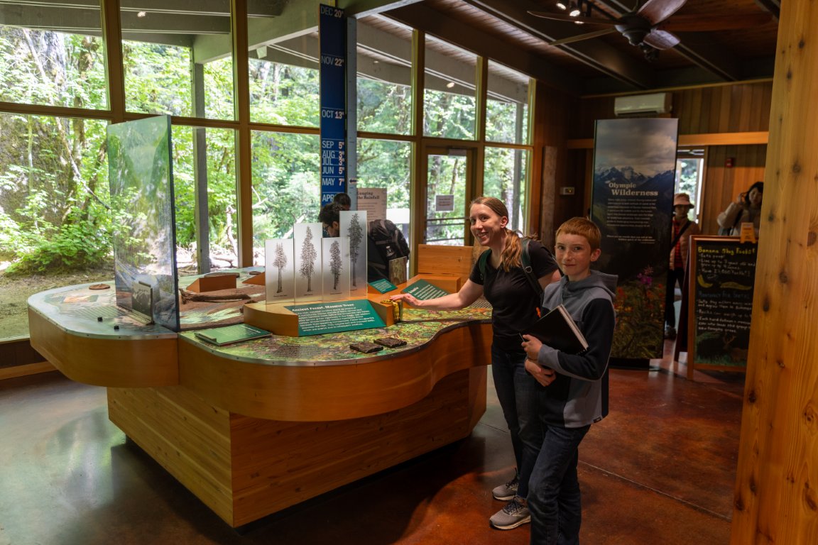
After that we continued on to our stop at the Hoh Rainforest Visitor Center in Olympic National Park. This is where we hit my big mistake in the itinerary. Visiting a national park on Memorial Day weekend? Duh. Huge line. We waited close to two hours to get through the entrance station, but thankfully we were in the Tesla so we weren’t stopping and starting our cars every few minutes like everyone else in line. We stamped Elijah’s National Park passport book at the Visitor Center and the rangers were very impressed with our idea to put a family photo next to each stamp. We hiked a few short trails but we didn’t stay long. Olympic National Park is a tough one to visit. It’s beautiful but it’s a huge area and each entrance is very far apart. So even though we’ve been to multiple parts of it, they’ve all been for short visits where we just see glimpses of the overall park.

From there we continued our trek down to Aberdeen, WA for our first hotel stay and we had dinner at Billy’s Bar & Grill which was also a winner.

Sunday

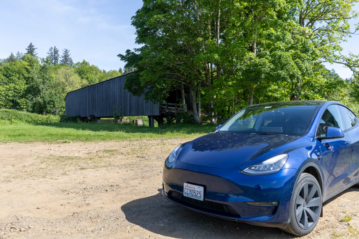
On Sunday, our first stop was the Historic Grays River Covered Bridge. It was built in the early 1900s and you can still drive your car across it today. I’ve never seen a covered bridge before so I was glad that there was basically no one around and we could spend our time looking at it.

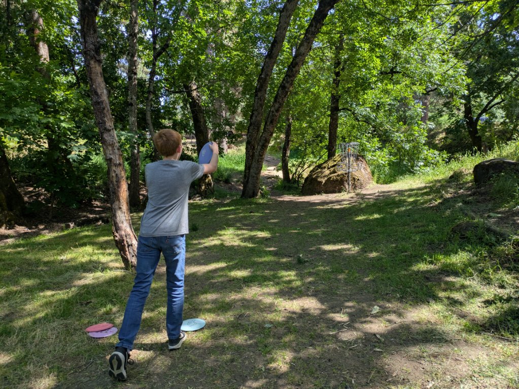
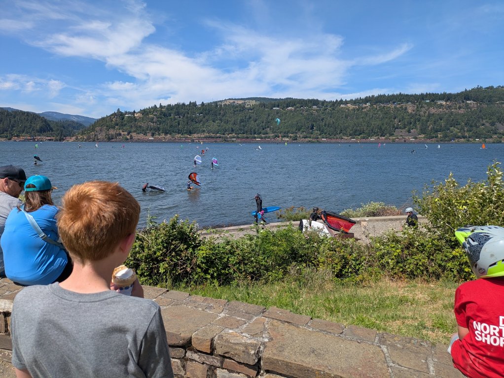
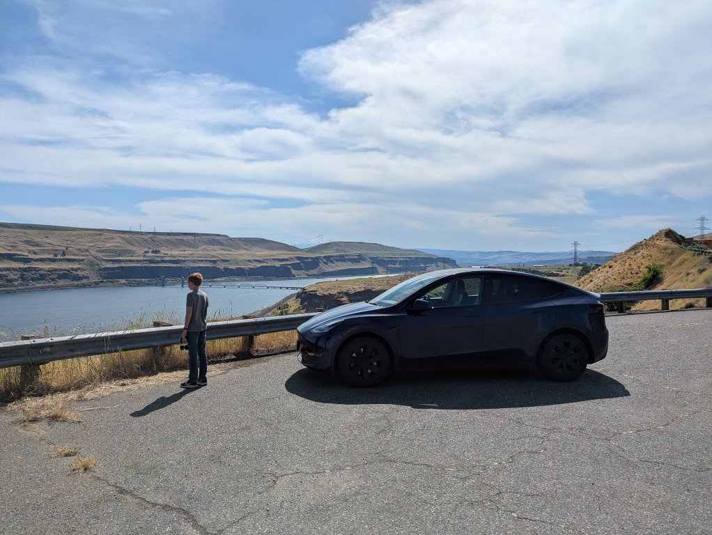
From there we headed to Hood River by way of Jimmy John’s for lunch. For this stretch, we hopped back on the interstate and drove through Oregon. At Hood River we stopped for a round of disc golf and then had ice cream while watching the wind surfers. Then we took the toll bridge across the Columbia back into Washington to collect a few more counties on our way to Yakima.

We had perfect weather both Saturday and Sunday which gave us great views!

Monday

Our last day of the trip was just a ~2.5 hour drive back home, but since it was the Monday of Memorial Day weekend, we didn’t want to delay our start. We shot through Snoqualmie Pass before it clogged up and we were back home before lunch.

Summary

All in all it was just under 800 miles. A silly road trip like this would have been harder to justify at $6/gallon for gas, but the whole trip only cost us $87 in electricity. We stayed both nights in Best Western Plus’s (as usual) and got some discounts there from the rewards we’ve built up. Eating out was a big slice of the total cost and we could have cut that down by packing lunches like normal, but part of the fun was the food along the way.

Now we have one more trip planned to hit the remaining counties in southeast Washington.

Railriding

Looking back through my 2025 posts in preparation for my “year in review” post, I realized that I never wrote about our rail riding trip in August!

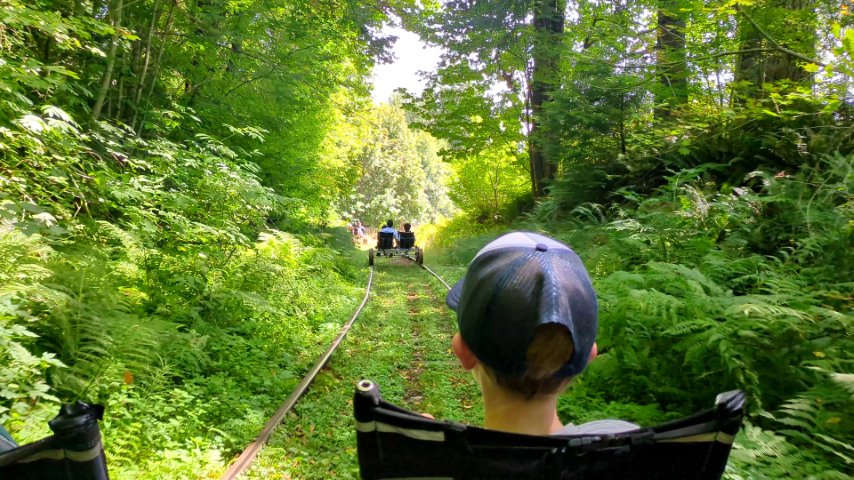
For Tyla’s birthday adventure, we checked out Vance Creek Railriders. They have a stretch of tracks and custom built pedal powered train carts. Each cart can hold up to four people and you better be ready to pedal because it’s a workout!

The trip away from the home base goes pretty quickly because there are large stretches that are slightly downhill. We probably got going ~20-25 mph at points, but of course, all that fun downhill was just future work for us.

At the turnaround point, they had a special contraption for flipping the carts around while we had the option of visiting the port-a-potty.

Coming back was significantly harder, and it was made worse by the group towards the front that seemed to take pedaling as an optional part of the trip. It sort of was optional because the cart in the back had a small engine on it, but there was no way it could push the dozen or so carts up the hills so we all still had to pedal.

I don’t think any of us are itching to do this every weekend, but it was definitely a fun experience that we’re all glad we tried.

Mazama 2025

My parents flew out to visit recently and we decided to take a trip with them to Mazama, WA. Mazama is on the east side of the Hwy 20 pass that goes through North Cascades National Park. I did a motorcycle ride through there in 2009 and I’ve been wanting to go back ever since.

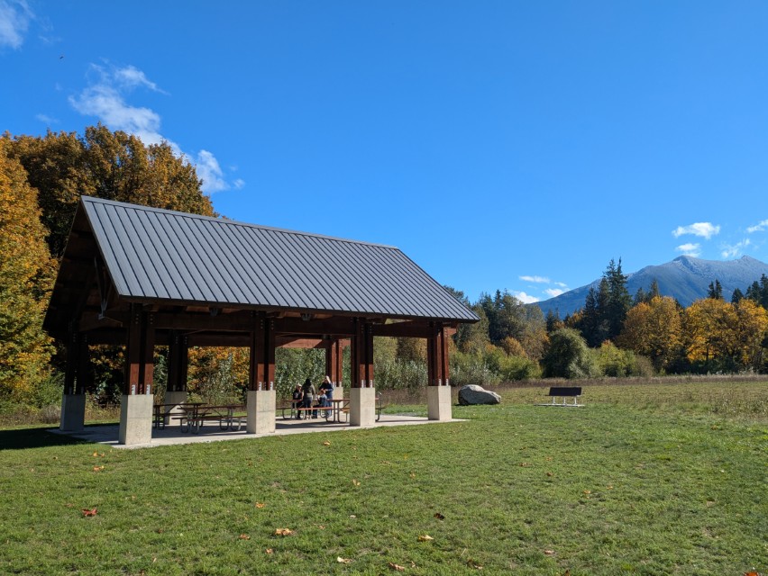
We left Monday morning and took the route through Darrington. We stopped at Pressentin Park in Marblemount for a quick picnic lunch and then continued on our way.

Our next stop was the North Cascades Visitor Center but it was closed for some combination of it being the end of the season and the government shutdown. So we continued on to Ladder Creek Falls just a little farther down the road. There’s a suspension bridge over the river and then a steep climb up to see the falls. There are some interesting signs along the way explaining the history of the park and the effect of electrification from the dam.

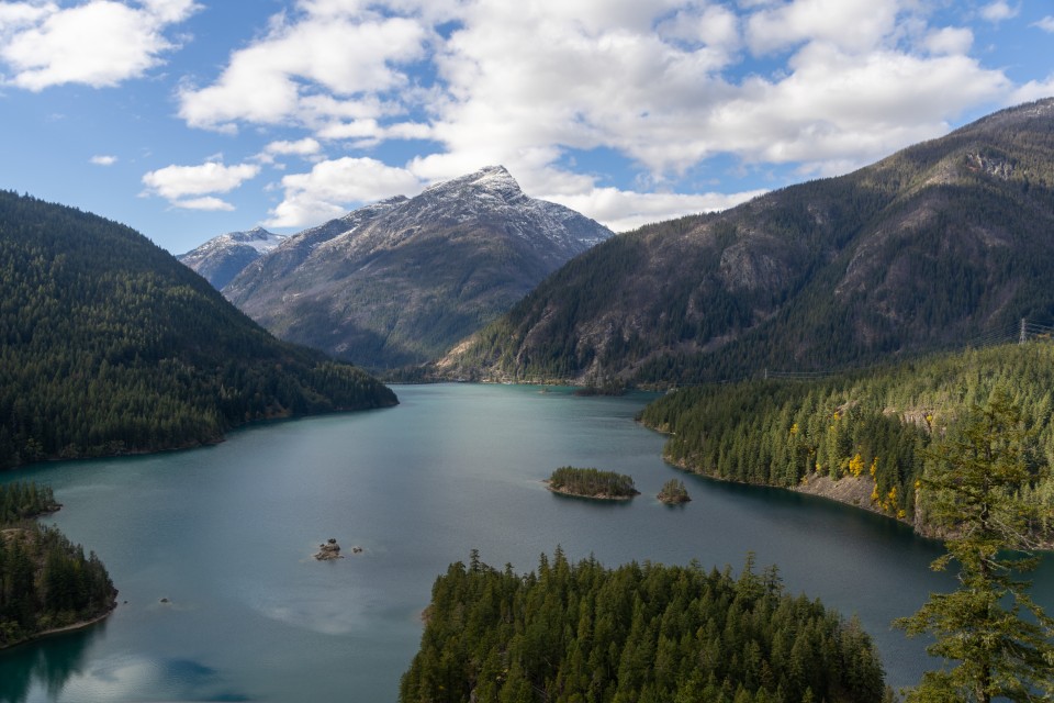
We hopped back in the truck and pulled off at Diablo Lake. We had sunshine for most of the drive up to this point but it started getting a bit cloudier. The lake didn’t quite have its famous green color, but it’s still a beautiful view. We also stopped a little bit up the road at the Ross Lake overlook.

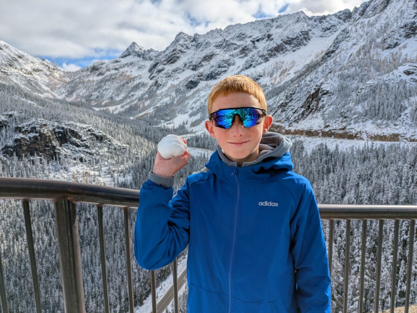
I had hoped that our next stop would be the trail to Rainy Lake but even though it was the middle of October, there was a foot of fresh snow! That would have made the hike too difficult for us anyway, but we also arrived in early afternoon and parking along the trailhead was a zoo. So we continued on to the Washington Pass Observation Site. The parking lot wasn’t plowed and there were quite a few cars there already, but we found a parking spot and despite not having good shoes for walking in snow, we made our way down the packed snow trail. The wet feet were worth it. It’s already and amazing view and it was magnified by all the fresh snow. If you’ve never driven through this pass, I highly recommend it! It’s my favorite of the Washington passes through the Cascades, and the addition of fall colors was incredible.

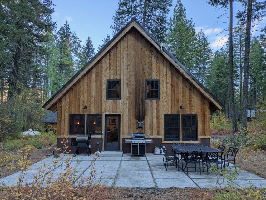
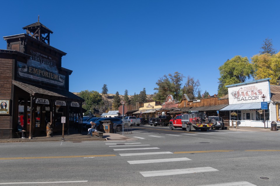
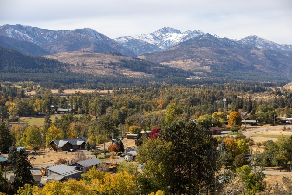
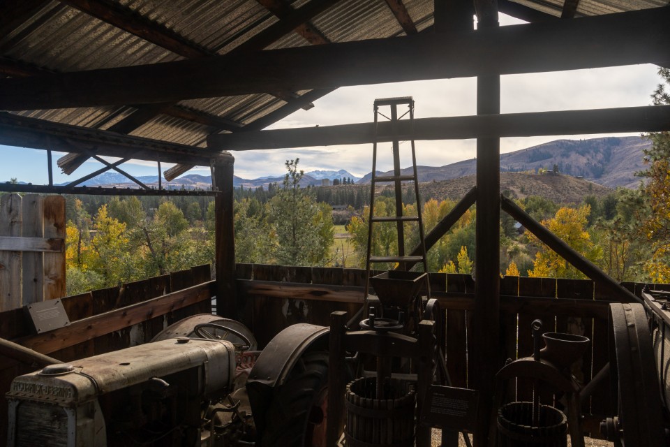
From there we headed down the east side of the mountain to our Airbnb just past Mazama. We filled our days with a lot of food cooked at the house, two short hikes, exploring the western themed town of Winthrop, visiting the Shafer Historical Museum, and playing a lot of games at the house. The weather was cool but the sunny skies gave us beautiful views.

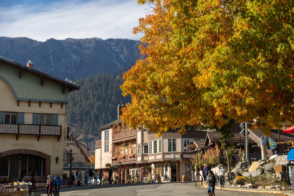
For the drive home, we took the slightly longer route east to Hwy 97 and then south to catch SR 2 west across Stevens Pass. We had to stop in Leavenworth for brats at Munchen Haus and fudge from the Fudge Hut.

That’s a lot of miles to cover with three people in the back seat and I appreciate everyone being willing to do this trip! It’s a gorgeous area and while Winthrop is still touristy, there’s a lot fewer people around and the whole area feels a lot more peaceful. It would be fun to go back there again and use that house as a base camp for a bunch of day hikes in the mountains!

Another Visit to MLC

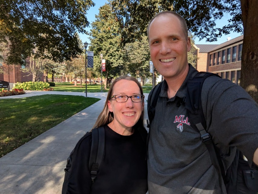
About a year and a half ago, Tyla and I were trying to figure out how to work in a visit to Martin Luther College. Since then, I have been there FOUR TIMES. We had no idea that we’d be asked to be on the President’s Advisory Council or that I’d end up going to synod convention.

Tyla and I just got back from our latest trip. Elijah stayed home this time (thanks Megan!) and we got a weekend to ourselves. Visiting Minnesota in late September is a roll of the dice but we had beautiful weather with temps around 80.

Our meetings were wonderful. I feel like our group is really hitting its stride now that we have more context about the challenges that are being faced and the type of feedback that is helpful. Plus, now that we know more people, even our time outside of the meetings leads to valuable conversations whether we’re having dinner or watching a volleyball game. We also got to say hi to a couple friendly faces among the student body too.

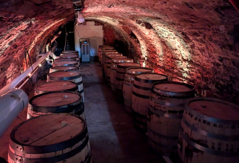
Outside of the meetings, we did get a chance to watch two volleyball games and we toured Schell’s Brewery too. The Schell’s tour was rich on history. They have a lot to cover since the brewery has been around since 1860! In the picture below you can see that we got to visit their cave where they barrel age a special fall brew.

Thanks again to MLC for hosting us and we look forward to our next visit!

Yellowstone Road Trip

(Note: You should be able to click on any of the photos in this post for a bigger view.)

Our main vacation this summer was a road trip to Yellowstone! We have been putting this off largely because of the horror stories about overcrowding, but we decided it’s not like the crowds are going to get lighter so let’s just go for it. I’m glad we did!

It’s about 750 miles from our house to the West Yellowstone entrance so we did the drive in two days. The first night’s stop was in Butte which left us with a fairly short drive the next day so we stopped in Bozeman to spend the day with some friends that we haven’t seen in a long time. They planned a nice hike for us and a picnic lunch. It was a great way catch up, let the kids run, and enjoy our time together.

Later that day we made our way down to West Yellowstone, MT. Our Airbnb was just west of town in Island Park, ID so that meant every day we started in Idaho, crossed Montana, and spent the day in Wyoming before reversing course back to the rental house.

Yellowstone is enormous. It’s bigger than Connecticut and Delaware combined. Planning a trip into an area that big is a lot of work, but after our success in Arches and Canyonlands National Parks, we again turned to dirtinmyshoes.com for this trip. We used the 4-day itinerary for Yellowstone and it was fantastic! It’s ridiculous to say we saw the whole park in 4 days, but we certainly saw a huge percentage of what most people see when they go there. You could spend a lifetime exploring all the trails, but I don’t feel like we missed anything and I don’t know what we would have tried to see if we had another day. Aside from the luxury of not having to research and plan, we also avoided almost all the crowds! There was only one time that I had to circle a parking lot for a bit, and there were many times where we arrived to be the only car in the lot or it was less than 20% full. This made our trip so much more enjoyable! The park very rarely felt crowded for us, but as we’d drive back past places we had already visited, the crowds were obvious. You could easily have a miserable time if you were visiting things at the wrong time. In fairness, we did start our days very early. One day we were in the park before 6:15 and I think the latest we entered the park was 7:30. That’s a big help, but the itinerary was also critical for seeing things in the right order to avoid the hordes.

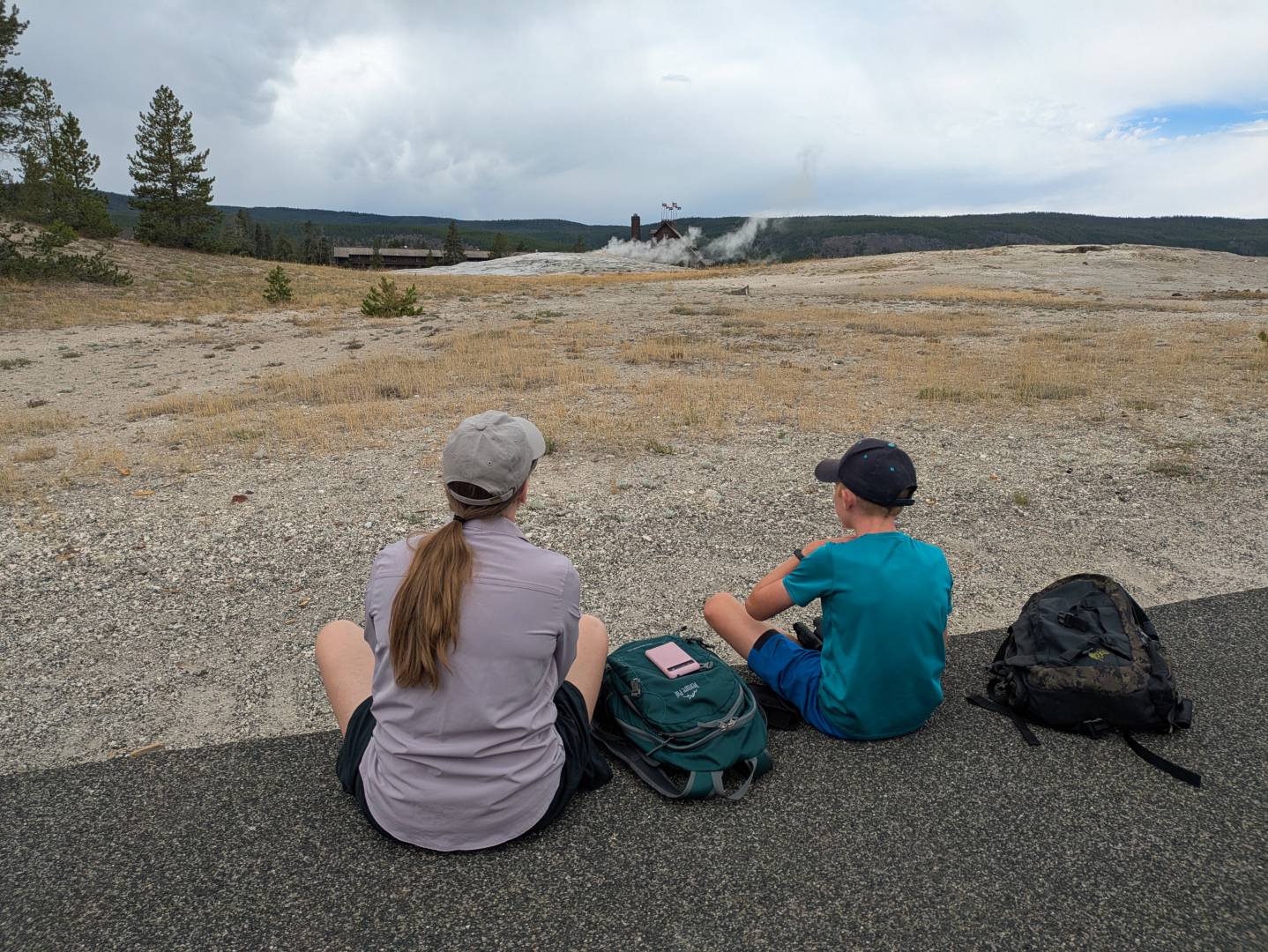
Going into the park, I knew about Old Faithful and bison, but I didn’t really have an appreciation for the diversity of the landscape. You could divide many of our experiences into three categories: geothermal, wildlife, and water.

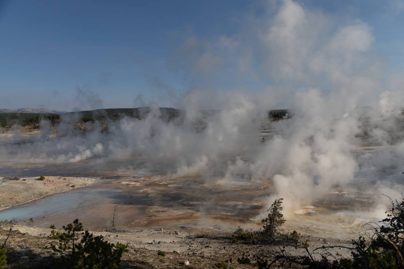
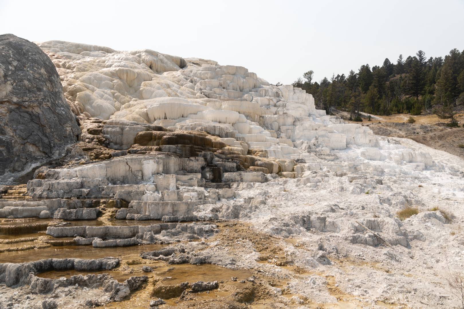
Geothermal: Old Faithful is of course the most popular geothermal feature but there are so many more in clusters around the park. I’m glad we saw Old Faithful, but other areas were similarly (or more) impressive. I really enjoyed the Norris Geyser basin. There wasn’t any one particular feature that stood out, but there are some really amazing views of the whole basin steaming. The land formations up by Mammoth Hot Springs were also really bonkers to see.

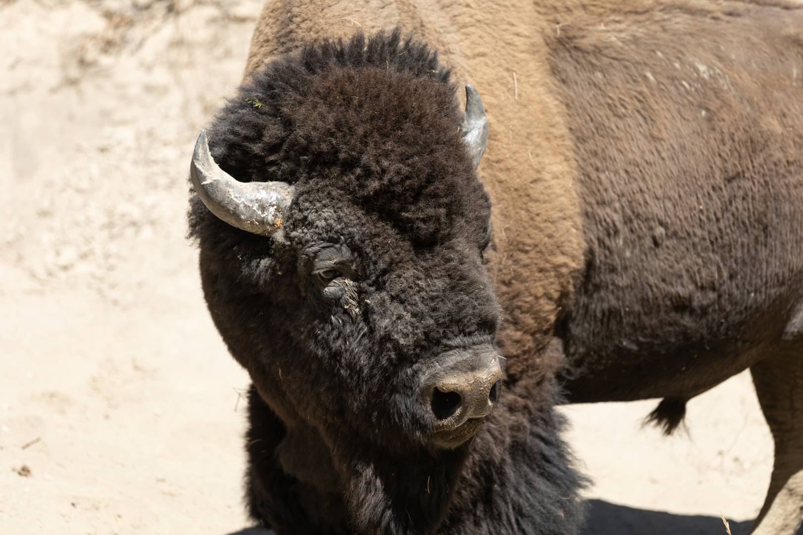
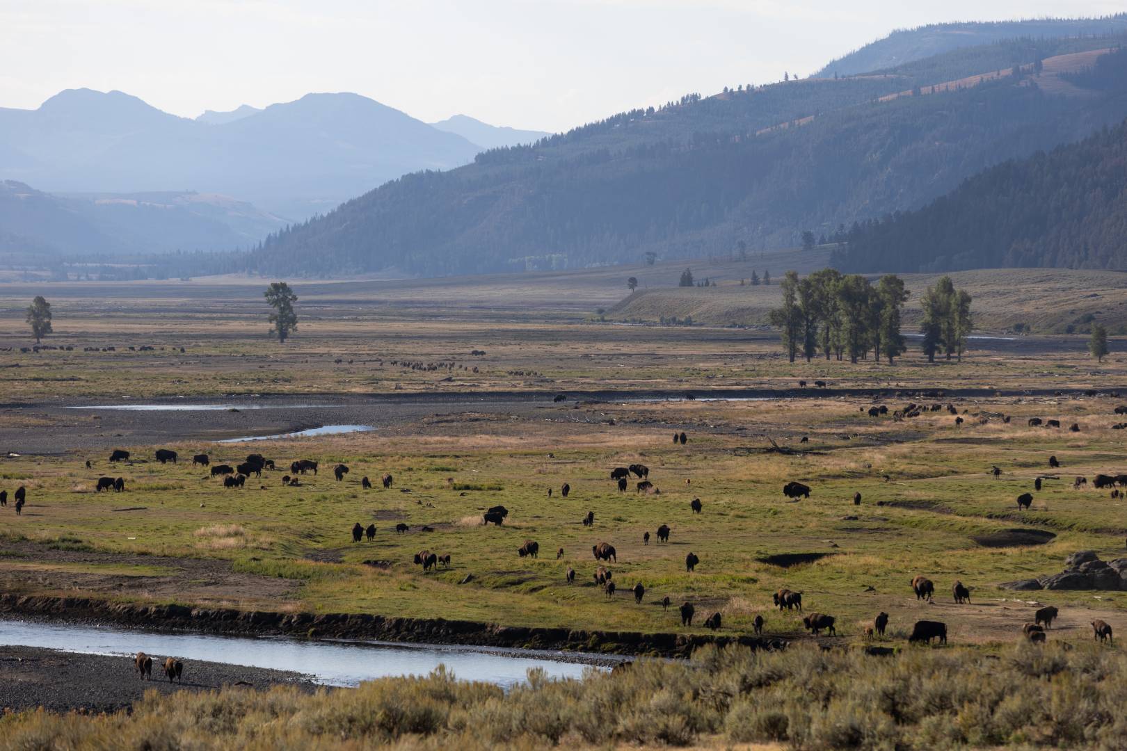
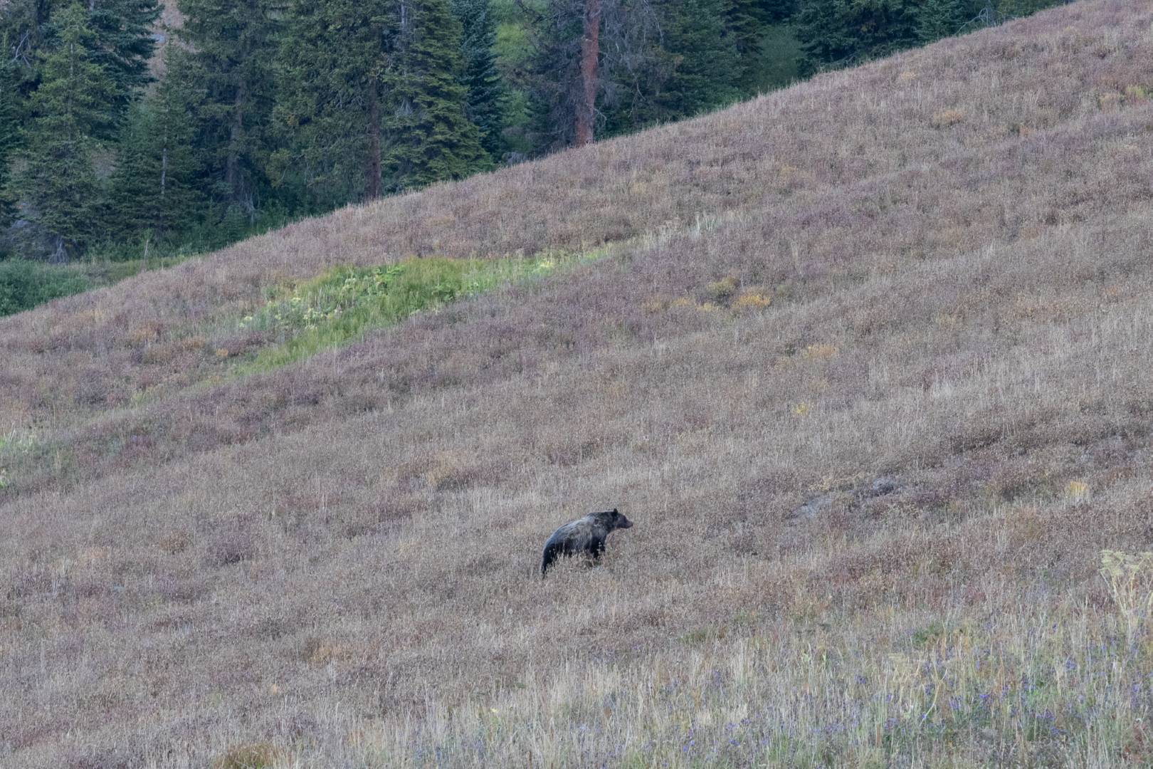
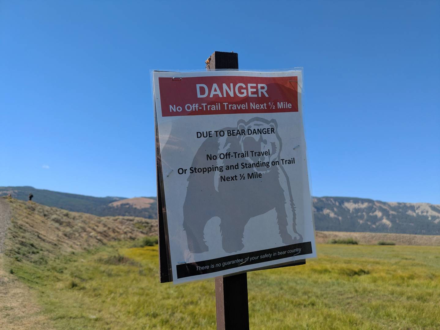
Wildlife: While we saw animals every day, day 3 was our big animal day. We saw fields with hundreds (thousands?) of bison, bison on the road in front of our truck, grizzly bears, black bears, elk, bighorn sheep, and pronghorn. (On a previous day we also saw a fox.) The highlight of that day for me was getting to our main trailhead for the day and having it swarmed with people. We quickly figured out how to predict what kind of animal was around by how many cars were there and this was a “bear crowd.” Indeed, there were two bears very far off in the distance, barely visible to the naked eye. Guides with spotting scopes indicated it was a grizzly and a baby. After the crowd dissipated, we ended up doing our hike anyway even though it took us directly closer to the bears. We stopped periodically to look at them through our binoculars and ensure that they weren’t getting any closer. They were probably a couple miles away and there was a river crossing between us, but we did stop our hike a little short of our final destination just to be extra safe. On top of the ones we could see, there were also strong warnings about bear activity in the area. Two bison had duked it out the previous week with one of them dying. Rangers had moved the carcass away from the road and that carcass turned into a feeding ground for a lot of animals. All that was left when we went by were part of the spine and the skull. I always carried bear spray.

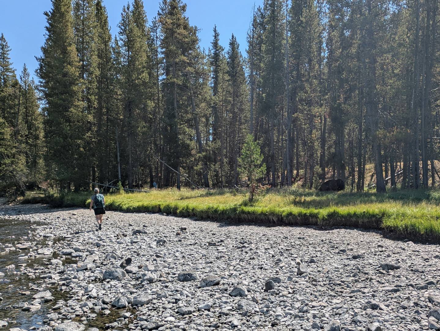
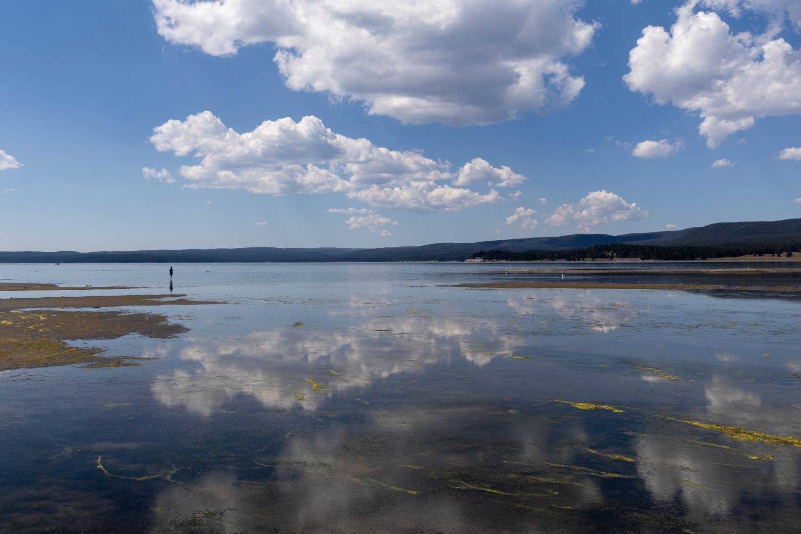
Water: Yellowstone River starts from an enormous and beautiful lake and the plummets down two waterfalls in rapid succession as it dives into the “Grand Canyon of Yellowstone.” We spent one morning viewing the falls from four or five different spots. The Lower Falls are especially beautiful in the early morning light. Later in the day we stopped for a picnic lunch along Yellowstone River. After carefully stowing our food back in the truck so as not to attract animals, we went back for a stroll along the river. We were all taking our own path when suddenly Elijah and Tyla noticed that we were walking right past a sleeping bison! Tyla and Elijah were able to turn around and walk back but I had already gone past it. There weren’t a lot of good options for getting around it so I just went back the way I came and thankfully it just stayed where it was. You can make your own estimate from the picture below but I’d say we were within 30-40 feet. It may not look like much from the picture, but it’s another thing being there with them. They are huge and unbelievable fast and nimble. I felt pretty bad about this one because I had spent the whole trip trying to be the first one to spot any animal when we were out since I knew there were some nerves in the family. But in this instance, I got distracted looking at the river and watching my step to not sprain an ankle on the rocks. I’m thankful it didn’t turn into one of those “look what the stupid people did in Yellowstone” situations.

We just got a new Canon R8 within the last year so I took that along each day. It was reasonable to carry with the 28-75mm lens but on our animal day, I took the monster 70-200 lens. On the one hand, it feels silly to take pictures in Yellowstone when there are so many better ones available online. But on the other hand, it’s really fun to have pictures that line up exactly with our memories. I tried to take a lot of photos with Tyla and/or Elijah in them, but I still took a lot of scenery pictures too. One of them got printed to poster size and another one at 8×10. Both are hanging on our walls at home.

As a packing reminder for our next trip, we did have some binoculars along but I wish we had another set or maybe even a nicer set. We used them a LOT. For Yellowstone in particular, it also would have been fun to bring our infrared thermometer along to see how hot some of the features were.

Booking a trip anywhere in the western US in the late summer is a gamble. Beyond the normal questions about heat and rain, there’s a good chance that you’ll at least have enough smoke to mess up the views or at worst, there’s enough smoke that you don’t even want to be outside. We were incredibly blessed on all fronts with the weather. It was cool in the mornings, warm in the afternoons, and we had nearly perfect air quality. There were some sprinkles while we were visiting Old Faithful but that was perfect timing if it had to happen. On our first day as we were driving back to the rental house, Elijah pointed off to the horizon and said, “What’s that?” It was a brand new fire starting! Not only did I have to think about whether we might need to evacuate or how we would know, but I wondered what we’d find the next morning. Despite the fire growing, it was never a danger to us and amazingly the smoke never impacted us in the park! Shortly after we left, the weather deteriorated and there was a lot more smoke. We could not have asked for better timing.

Whenever we do a trip like this, we like to play the license plate game. Elijah used to be our scribe and he would mark things off on the sheet. Now that job has transitioned to Tyla which means I have to keep a list in my head and then report them to her when she wakes up. Ha! Visiting a national park somewhat in the middle of the country is a great place to polish off whatever was missed on the drive, but unfortunately Delaware and West Virginia eluded us. The highlight of that game was on our last day in the park as we were driving back to the exit. We had been following a motorcycle with a license plate that we couldn’t quite read. I didn’t want to get too close but when we arrived at one of the few stop signs in the park, we were able to pull up close enough to read that it was from Brazil! Then to top it off, the truck coming the other way had a New Hampshire plate. That was the 48th and final US plate that we saw.

Our days in the park were long. As I mentioned, we started early and most days we got home around 4:30-5pm. The park is enormous so there was a lot of time spent just driving around. I estimate that we averaged around 150 miles per day of driving in the park and about 5-6 miles of walking. I definitely felt like we pushed the border of making good use of our time and wearing ourselves out. We basically did nothing at the rental house except eat, get prepared for the next day, and then sleep. Yet it never felt like we were killing ourselves to see too much stuff.

For food we generally ate oatmeal or eggs at the house and then packed a lunch. Before we leave home, we bought a summer sausage and a block of cheese and that felt like the Widow of Zarapheth from 1 Kings 17 because that summer sausage and cheese somehow fed Tyla and I nearly every day of our trip! Elijah usually had a PB&J or some tuna fish and crackers. We kept a cooler with ice in the back of the truck for the whole trip and it was a great way to have lunch wherever was convenient and always have a good supply of cold water. Before the trip I bought some silicone freezer trays and every night at the rental house, I was able to make enough ice for the cooler that I didn’t have to buy any from the stores in West Yellowstone. But we do have a couple favorite restaurants to recommend too:

  • Ernie’s Bakery and Deli – We stopped here twice. The first was on our way into the park right when they opened around 7am. They sell boxed lunches which seemed like a brilliant idea! You pick your own sandwich fixings and then they pile in chips, an apple, candy, a drink, and more. We also stopped there for a delicious breakfast as we left town.
  • TR’s Burgers – The whole restaurant is themed with Teddy Roosevelt trivia and photos which is fun, but the burgers are fantastic! They had a nice selection of craft beer as well and you can choose either outdoor or indoor seating.

We piled all our stuff in the truck, said good bye to our rental house, and took a slightly longer route out of town to avoid the fire activity. We weren’t quite heading home yet though as we had planned a two day stop at Silverwood Theme Park in northern Idaho. It has been on our list for a long time and this seemed like a reasonable time to give it a shot. We almost canceled it though because the forecast was for 97 degree weather both days! I’m glad we didn’t cancel though because amazingly the heat never really bothered us too much. We were able to stay cool enough and not get too worn out from the heat. Silverwood is a decent sized theme park with the main draws being 5 big roller coasters and a large water park. Elijah was determined to do his first looping coaster but unfortunately the entry level looping coaster was closed both days we were there. I did the next most intense one and knew that it was asking a bit much from him to try that (though I loved it. Definitely try out Stunt Pilot!) The water park ended up being the bigger hit for the family and we did most of the rides there. I’m glad we got to do Silverwood but it was a bit of a shock after the peaceful beauty of Yellowstone. We don’t have many pictures since we mostly left our phones in a locker.

I was really looking forward to this trip and it did not disappoint. A road trip to a National Park is almost always a winner for me and I’m thankful that Tyla and Elijah enjoy them too. I know as a kid I wasn’t always the easiest to travel with on that kind of a trip, but now every time Tyla and I discuss what we want to do for our next trip, I always have a National Park on the list of choices.

Along with photos, we were taking some video too, so I edited it together into a montage for us to look back on and smile.

2025 WELS Synod Convention

The church I attend is part of a national church body called the Wisconsin Evangelical Lutheran Synod. Why? There are things that are difficult for individual churches to do such as sending out missionaries and training new pastors, teachers, and staff ministers. So we band together to do those kinds of projects as well help keep each other teaching directly what the Bible says. Every two years, the synod holds a convention with delegates from around the country to review our current status and make plans for the future.

This is the 175th anniversary of our synod. It started so small and there were many times where we were on the verge of heading down a bad path, but ultimately, our truth did not bend around popular culture and our beliefs have remained consistent regardless of what is trending.

From that humble beginning we have now spread out around the world. I was on a committee that was focused on gathering information from our mission board so I got extra insight into the amazing work being done around the world. The international Christian community is exploding in places you might expect, but also in places that would shock you. (Some of those places can’t be reported since it would put lives in danger.) Inside the US, we are working to plant 100 new missions within 10 years and also to strengthen/restart 75 of our existing ministries. We’re two years into that plan and it’s going well, but as costs rise, it makes the work more challenging. Regardless of where the missionaries were located, they had incredible stories to share about how the gospel works in individual hearts.

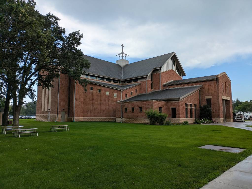
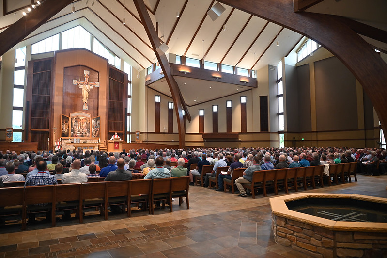
The convention was held in New Ulm, MN at Martin Luther College. That’s the same place Tyla and I have been visiting to work with their leadership on some ideas. It’s a special place because every one of our pastors, teachers, and staff ministers goes through that school and receives the same solid, doctrinal education. (Pastors continue on for another four years at seminary.) It’s fun being there when the students are on campus, but it was also interesting this time to be there with ~400 other delegates. Many extra people came to the opening worship service and it was a treat to hear 800 people singing together. Breaks and meals were full of interesting conversations and when meetings finally ended late in the evenings, there was social time with drinks from Schell’s Brewing. The cool beer was a welcome freshment because it was in the low to mid 90s with extreme humidity. I was so thankful that I skipped the free lodging in the dorms and got a room at a hotel. The AC (and privacy) were very welcome.

It was a little weird being on campus without Tyla, but she and I will be back there in a couple months for another meeting. I did enjoy seeing familiar faces from the campus staff and meeting new ones as well. I got a tour of some of their tech services too and hope to continue that conversation in the future.

It was four very long days but I’m so happy that I could attend. Since we have so many churches and there are so few delegates, it’s a rare opportunity that a church gets to send someone. This could very well have been a once in a lifetime opportunity for me, but the memories of this convention will last that long.

If you want to dive in deeper, all of the materials and live streams are available at https://www.welsconvention.net. A couple of their photos are included below.