We awoke at the Heathman Hotel for day 2 of Tyla’s birthday extravaganza. We started off with a delicious breakfast at the Trellis restaurant, snagged our car from the valet and then headed south. As we were packing up the room, Tyla finally guessed that we were going horseback riding so I filled her in on the details.
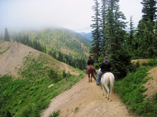
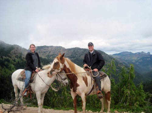
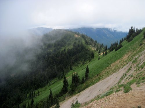
We drove down to Crystal Mountain for a three hour ride with the Crystal Mountain Outfitters. Whenever I sign up for a trail ride, I never know how much they’re going to sugar coat the experience. This turned out to be a very legit ride through some incredible terrain.
Tyson was our wrangler and it was just the three of us. They do a wide variety of rides from one hour to full day trips. We signed up for three hours but got about 3.5 hours. There was a lot of rain up north and I was nervous that we were going to get wet, but despite some clouds, we had great weather. Tyson took us up to and along the Pacific Crest Trail. I’m sure that the views would have been better without the clouds, but we still had a blast. I was waiting for Tyla to say something about the trail. It was extremely narrow on very steep hillsides but she was able to enjoy herself anyway.
Along the way we saw an elk, met up with another group of riders who was surprised that guided trips came out that far, stopped at a natural spring, admired huge fields of wildflowers, saw old miner/trapper cabins, and looked into an old mine shaft. By the time we reached camp again, we had covered about 2200 vertical feet over 8 miles. I can now saw that I’ve been on parts of both the Appalachian Trail and the Pacific Crest Trail.
Thanks to everyone at Crystal Mountain Outfitters for a fantastic day! More photos are available in the photo gallery.
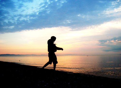
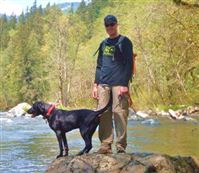
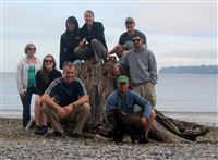 This is the fourth annual big summer camping trip where Matt, Laura, Andy, Stephanie, Tim, Chelsea, Tyla and I head out to a state park for a weekend. We make the reservations around Christmas time to make sure we can claim a weekend on everyone’s busy summer calendars. This year’s adventure took us to Birch Bay State Park up north near the border.
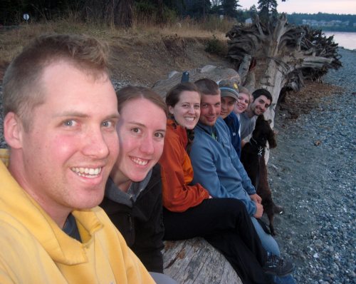
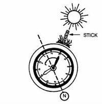 Let’s say you’re lost in the woods and you didn’t pack a compass. Now what? There are ways to determine direction based on the way trees grow and moss growing on trees but there are various situations where those aren’t available or reliable. What then? If you can see the sun, you’re in luck.
 Saturday (7/24) was the perfect day for our ride, if not a little bit warm. It was sunny and around 85 degrees. While I thought we might get a few riders from other area churches, it ended up being a group of four from Calvary: ScottK, DougW, FrankL and myself.
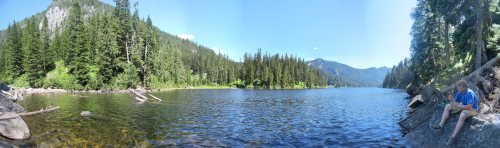
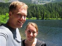 Last Saturday, Tyla and I decided to take a hike to Talapus and Olallie Lakes (hike #21 in Beyond Mt Si.) It’s a pretty easy and well-traveled hike so we got there early to avoid the crowds. We got to Talapus Lake very quickly, walked down to the water’s edge and then decided to continue on before eating lunch. Unfortunately we missed the left turn to Olallie Lake (don’t cross the stream where the bridge is washed out) and ended up on the trail to Pratt Lake. I thought we might catch a view of Olallie from that trail, but we didn’t so we turned around, found the trail to Olallie and quickly reached that lake. It was about a 1 mile detour.
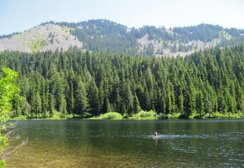
 Your
Your 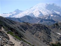 Now you’ve got your
 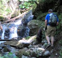 So you want to start hiking? Tyla and I were chatting about this on a recent hike, and I decided to make three posts about it. The first will be tips things you should consider carrying with you, the second is how to pick out a hike, and the third is a selection of good first hikes to get you started..